What is recorded here
Eskaheen still stands though its stones have vanished, buried under soil reclaimed for cultivation on the lower eastern slopes. The mountain keeps what human hands forgot, hiding markers once proud enough to attract attention. What was placed there in darkness or ceremony has returned to earth, leaving only the shape of the slope to remember.
There is no trace of the 'Standing Stones' marked on the OS 6-inch maps. Situated on the lower E slopes of Eskaheen mountain on land now reclaimed for cultivation.
The above description was derived from the 'Archaeological Survey of County Donegal. A description of the field antiquities of the County from the Mesolithic Period to the 17th century.' Compiled by: Brian Lacey with Eamon Cody, Claire Cotter, Judy Cuppage, Noel Dunne, Vincent Hurley, Celie O'Rahilly, Paul Walsh and Seán Ó Nualláin (Lifford: Donegal County Council, 1983). In certain instances the entries have been revised and updated.
Date of upload: 22 September 2008
This remains an important historical record, but the official description says the monument is no longer visible or has been destroyed. The monument record does not grant public access. Check the route and ask the landowner before entering private land.
- What survives
- No visible remains or recorded as destroyed
Places near here
 Eskaheen Portal TombPortal tomb · 427 yd
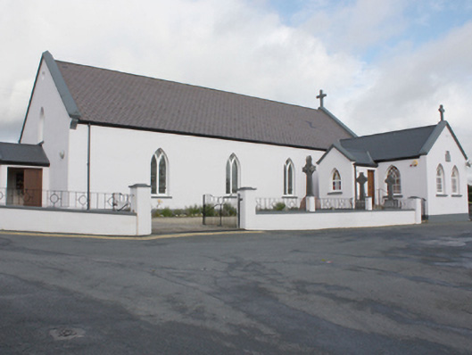 St. Patrick's Catholic Churchchurch/chapel · 822 yd
 Former Eskaheen Fairy FortFairy fort / ringfort · 827 yd
 Eskaheen GraveyardGraveyard · 873 yd
 Eskaheen Old ChurchChurch · 873 yd
 Muff ForestWoodland walk · 1620 yd
 Scalp MountainMountain / peak · 2.9 mi
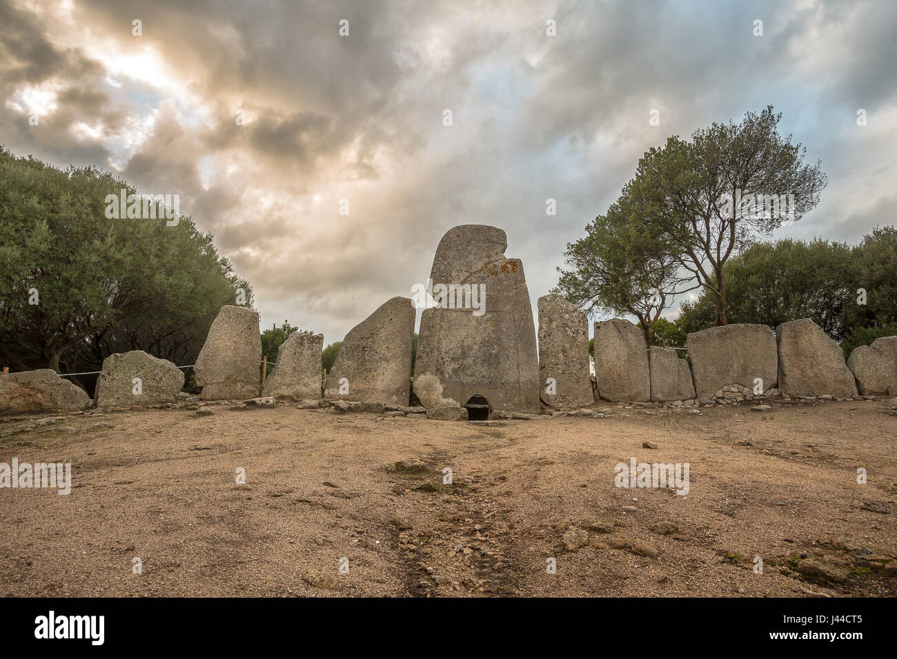 Giant's GraveArchaeological place · 3.4 mi
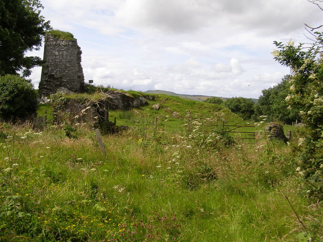 CASTLE & EARTHWORK ENCLOSURE: DOHERTY TOWER or CASTLE AILEACH in Elagh MoreCASTLE & EARTHWORK ENCLOSURE: DOHERTY TOWER or CASTLE AILEACH · 4.3 mi
 Quigley's PointHeadland · 4.6 mi
 Siege of Derry Boom Stone"The Boom Stone" (Traditionally part of 17th century boom across the River Foyle during the Siege of Derry) · 4.9 mi
 Cashel HillMountain / peak · 5.2 mi