What is recorded here
Duagh holds a large irregular standing stone on level pastureland beside the Meennascarty river. It stands 2.4m high, averages 1.25m wide and 1.15m thick at its base, and faces ESE-WNW. People may have set it there to mark a boundary, honour a loss or guide travellers through open country. Whatever they intended, the stone still occupies the field like a forgotten sentence waiting to be read.
A large irregularly-shaped standing stone situated on level pastureland which falls away towards the Meennascarty river c. 75m to S. It stands 2.4m high and averages 1.25m in width and 1.15m in thickness at base; ESE-WNW.
The above description is derived from J. Cuppage, ‘Corca Dhuibhne. Dingle Peninsula archaeological survey. Ballyferriter. Oidhreacht Chorca Dhuibhne’ (1986), no. 101. In certain instances the entries have been revised and updated in the light of recent research.
Date of upload: 4 August 2013
The monument record does not grant public access. Check the route and ask the landowner before entering private land.
- What survives
- Recorded monument
Places near here
 Church in Duagh (corkaguiny By.)Church · 219 yd
 Man-made underground passage in Duagh (corkaguiny By.)Man-made underground passage · 382 yd
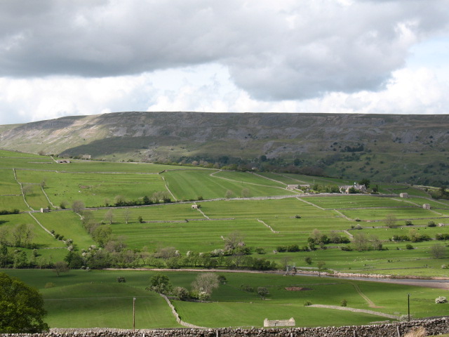 Cultivation ridges in GlanmaneCultivation ridges · 741 yd
 Church in Arraglen (corkaguiny By., Castlegregory Ed),killiney,tullig (corkaguiny By., Castlegregory Ed)Church · 744 yd
 CarrigadavMountain / peak · 1.9 mi
 KnockbegMountain / peak · 2.0 mi
 Graveyard in Baile An Chnocáin (tc An Cnoc Glas)Graveyard · 2.2 mi
 Site of Camp CastleCastle, unclassified · 2.7 mi
 Faisr's GraveArchaeological place · 2.7 mi
 Site of CastleCastle, unclassified · 3.1 mi
 Glanteenassig Forest ParkForest · 3.3 mi
 Sandy Bay BeachBeach / strand · 4.5 mi