What is recorded here
Marianne said the tall stone was a woman frozen mid-turn, her body bent toward the sea she could no longer reach. The small stone at her feet was her child, dropped when the ground swallowed them. People walked past Drumliff quickly after dark because the ridge listened for hesitation, and loneliness sounded like a name called twice.
Not marked on OS 1836 ed. Sited on the highest point of a prominent drumlin ridge. Irregularly shaped slab aligned WNW-ESE (H 1.4m; dims. 0.87m x 0.42m). Lying against it at NE is a buttress stone (H 0.1m; dims. 0.87m x 0.42m).
The above description is derived from the published 'Archaeological Inventory of County Cavan' (Dublin: Stationery Office, 1995). In certain instances the entries have been revised and updated in the light of recent research.
Date of upload/revision: 22 December 2008
Probably dating to the Bronze Age, this standing stone may have had ritual or territorial significance, possibly linked to landscape orientation or seasonal markers. Its alignment and position on a prominent drumlin suggest a connection to local prehistoric pathways or ceremonial activity.
The monument record does not grant public access. Check the route and ask the landowner before entering private land.
- What survives
- Recorded monument
Places near here
 Standing StoneArchaeological place · 22 yd
 IndicatedFairy fort / earthen ringfort · 1062 yd
 Annaghduff Wet WoodlandForest · 1633 yd
 Oak WoodForest · 1.1 mi
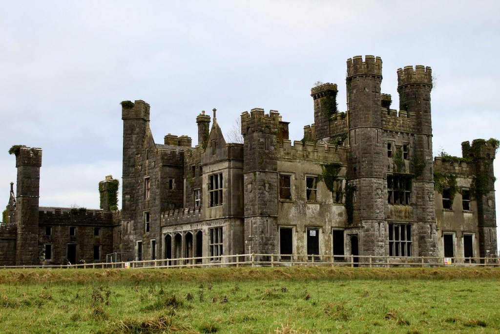 CastleCastle, unclassified · 1.2 mi
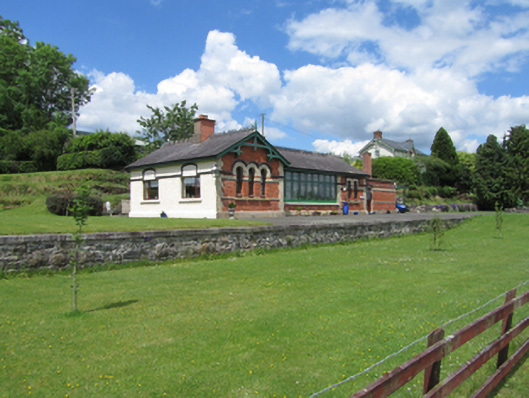 railway stationrailway station · 1.2 mi
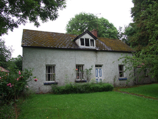 farm housefarm house · 1.3 mi
 Ballyhaise Ho.Castle, unclassified · 1.6 mi
 Garden IsleIslet · 1.7 mi
 ArdamaghMountain / peak · 2.0 mi
 Annagh Lough BeachBeach / strand · 2.2 mi
 DrumakeenanMountain / peak · 2.3 mi