What is recorded here
Not even marked on official maps, the stone hides in a Drumbrawn hollow where high ground blocks every exit. It rises one metre tall, irregular and ancient enough that locals still treat it as a marker from before human memory. You can stare into the hollow until the edges blur, but the stone does not flinch. It waits for human smallness to remember itself.
Not marked on any OS ed. Sited in a hollow surrounded on all sides by high ground. Large irregularly shaped block (H 1.03m; dims. 1.05m x 0.28m). Regarded in the locality as an antiquity.
The above description is derived from the published 'Archaeological Inventory of County Cavan' (Dublin: Stationery Office, 1995). In certain instances the entries have been revised and updated in the light of recent research.
Date of upload/revision: 22 December 2008
Likely dating to the Neolithic or Early Bronze Age, this standing stone may have functioned as a boundary marker, ritual focus, or territorial symbol. No specific folklore or recorded use is associated with the site.
The monument record does not grant public access. Check the route and ask the landowner before entering private land.
- What survives
- Recorded monument
Places near here
 IndicatedFairy fort / earthen ringfort · 191 yd
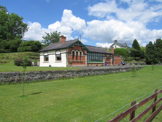 railway stationrailway station · 955 yd
 Standing StoneArchaeological place · 1144 yd
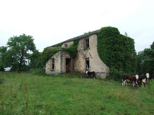 Prospect Housecountry house · 1325 yd
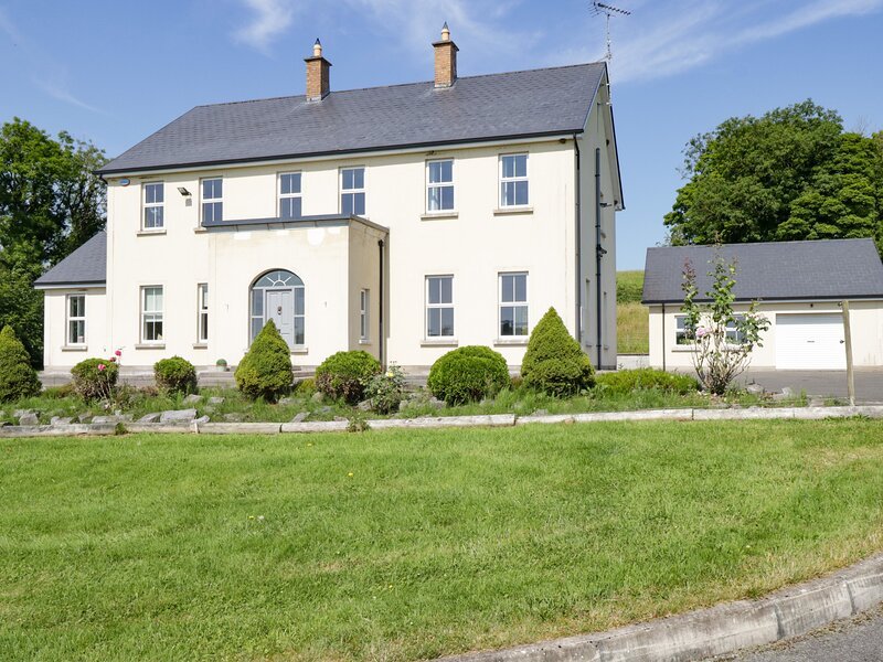 Rock WoodWood · 1554 yd
 Cloverhill DemesneForest · 1.1 mi
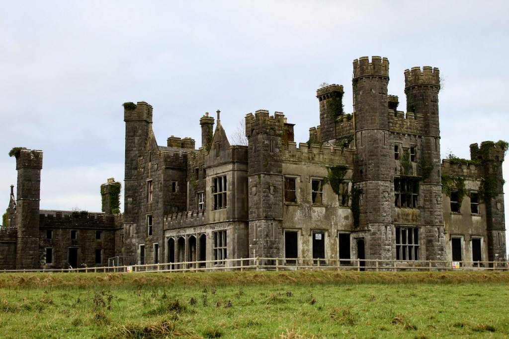 CastleCastle, unclassified · 1.8 mi
 DrumakeenanMountain / peak · 1.9 mi
 Annagh Lough BeachBeach / strand · 2.0 mi
 Bawn in KillyfanaBawn · 2.0 mi
 Garden IsleIslet · 2.3 mi
 DrumcalpinMountain / peak · 2.5 mi