What is recorded here
Dromore South holds a seven-foot stone with an eleven-foot girth, recorded by Bowman in 1934 on Mrs D. Mulcahy's farm. Its exact location has vanished, leaving behind a ghost of shape and size rather than a point on a map. The measurement suggests a massive presence, perhaps a boundary marker or a forgotten monument, now reduced to a numeric shadow in a county inventory.
Bowman (1934, 365) recorded standing stone on Mrs D. Mulcahy's farm; '7ft 1in by 11ft 8in girth'. Exact location not known.
The above description is derived from the published 'Archaeological Inventory of County Cork. Volume 4: North Cork' (Dublin: Stationery Office, 2000). In certain instances the entries have been revised and updated in the light of recent research.
Date of upload/revision: 14 January 2009
The monument record does not grant public access. Check the route and ask the landowner before entering private land.
- What survives
- Recorded monument
Places near here
 IndicatedFairy fort / earthen ringfort · 625 yd
 Man-made underground passage in Dromore SouthMan-made underground passage · 651 yd
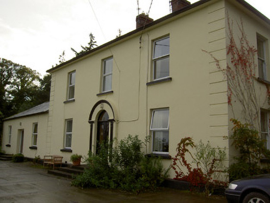 Dromore Househouse · 1046 yd
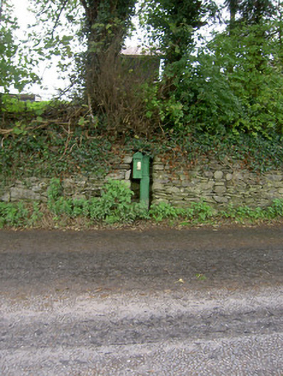 post boxpost box · 1621 yd
 Castle Barrett (in Ruins)Castle, Anglo-Norman masonry castle · 1.3 mi
 Castle BarrettCastle · 1.3 mi
 KnockarouraForest · 2.6 mi
 Blackwater WayWalking route · 2.6 mi
 Mallow River TrailVisitor information · 3.1 mi
 In loving memory of Elvis O'DonoghueMemorial · 3.1 mi
 Dromaneen CastleHeritage attraction · 3.7 mi
 Lyradane MountainMountain / peak · 4.2 mi