What is recorded here
Condon measured the thin grey stone in 1916, but that pale marker has vanished from the northern slope. It stood only three feet six inches tall and barely a foot and a half wide, yet its complete disappearance leaves a sharper hole than any giant monument could carve. The pasture keeps the shape of its absence, forcing every person who walks past to invent the hand that buried it.
In pasture, on N-facing slope. Condon (1916, 146 no. 126) recorded standing stone here; 'Height 3 feet 6 inches; breadth 1 foot 6 inches; and a few inches in thickness. It is of a greyish colour'. Removed; no visible surface trace.
The above description is derived from the published 'Archaeological Inventory of County Cork. Volume 4: North Cork' (Dublin: Stationery Office, 2000). In certain instances the entries have been revised and updated in the light of recent research.
Date of upload/revision: 14 January 2009
The monument record does not grant public access. Check the route and ask the landowner before entering private land.
- What survives
- Recorded monument
Places near here
 Religpatrick Grave Yard (Disused)Burial ground · 268 yd
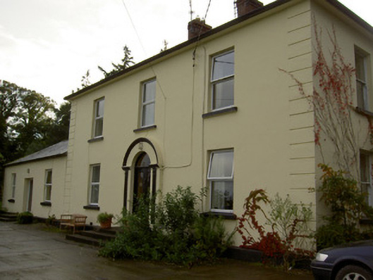 Dromore Househouse · 646 yd
 Enclosure in Dromore SouthEnclosure · 820 yd
 Church (in Ruins)Church · 1042 yd
 Castle Barrett (in Ruins)Castle, Anglo-Norman masonry castle · 1.1 mi
 Castle BarrettCastle · 1.1 mi
 KnockarouraForest · 2.1 mi
 Blackwater WayWalking route · 2.2 mi
 Mallow River TrailVisitor information · 2.7 mi
 In loving memory of Elvis O'DonoghueMemorial · 2.7 mi
 Dromaneen CastleHeritage attraction · 3.7 mi
 Lyradane MountainMountain / peak · 4.5 mi