
What is recorded here
Shown on 1842 OS 6-inch map, within demesne of Old Dromore House, as narrow rectangular church (c. 10m NW-SE; c. 5m NE-SW), and named 'Temple'. Not shown clearly on 1904 OS 6-inch map; NW and SW walls shown on 1935 OS 6-inch map, and named 'church (in ruins)'. OS Name Book (1839) notes 'Roman Temple' at Old Dromore House; O'Donovan comments that this site, 10 chains from old house, 'must be a R.C. Teampull' (Grove White 1905-25, vol. 3, 83). Site now under pasture; no visible surface trace of church.
The above description is derived from the published 'Archaeological Inventory of County Cork. Volume 4: North Cork' (Dublin: Stationery Office, 2000). In certain instances the entries have been revised and updated in the light of recent research.
Date of upload/revision: 14 January 2009
The monument record does not grant public access. Check the route and ask the landowner before entering private land.
- What survives
- Recorded monument
Places near here
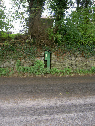 post boxpost box · 809 yd
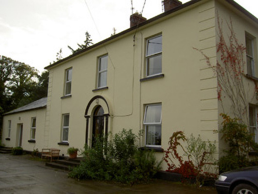 Dromore Househouse · 868 yd
 Enclosure in Dromore SouthEnclosure · 999 yd
 Grave YdGraveyard · 1220 yd
 Castle Barrett (in Ruins)Castle, Anglo-Norman masonry castle · 1354 yd
 Castle BarrettCastle · 1355 yd
 KnockarouraForest · 1.6 mi
 Blackwater WayWalking route · 2.2 mi
 Mallow River TrailVisitor information · 2.6 mi
 In loving memory of Elvis O'DonoghueMemorial · 2.7 mi
 Dromaneen CastleHeritage attraction · 4.1 mi
 Lyradane MountainMountain / peak · 4.5 mi
Other information
Photo: Credit not shown in the picture search · Rights wording not checked; contact us if this picture should be removed