What is recorded here
Dromore stands in County Kerry, Ireland, a tall limestone shape still catching light on an NNE-facing slope after centuries of rain. Cattle have worn its edges and sunk the ground beside it, proving the stone still belongs to living farm life rather than a forgotten display.
In improved pasture, on a NNE-facing slope. Upright stone (dims. H 1.65m; Wth 1.1m; T 0.25m) of weathered limestone; long-axis NE-SW. Sub-rectangular in elevation to NW and SE and regular in section. Mature yellow crustose lichens on upper parts of stone and mosses around base. Edges of stone worn by cattle scratching and area surrounding base is slightly sunken due to cattle poaching. Farm approach road adjacent to WNW.
Compiled by: Alison McQueen and Vera Rahilly
Date of upload: 11 September 2014
The monument record does not grant public access. Check the route and ask the landowner before entering private land.
- What survives
- Recorded monument
Places near here
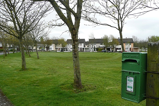 Enclosure in BallybaneEnclosure · 671 yd
 Enclosure in Dromore (magunihy By.)Enclosure · 1135 yd
 CastleCastle, motte · 1244 yd
 Farranfore Railway Stationrailway station · 1645 yd
 Farranfore Br.Bridge · 1651 yd
 Fieries CastleCastle · 1.3 mi
 Ballygamboon Forest Recreation AreaWood · 5.2 mi
 The Kerry Creamery ExperienceHeritage attraction · 5.5 mi
 Aghadoe Early Medieval Ecclesiastical SiteHeritage attraction · 6.2 mi
 Famine MemorialMemorial · 7.2 mi
 GinkgoGinkgo · 7.5 mi
 Circular WalkWalking route · 7.5 mi