What is recorded here
Orientated NW-SE. Oval cross-section (H 1.9m, L 1.9m, W0.6m)
The above description is derived from the published 'Archaeological Inventory of County Meath' (Dublin: Stationery Office, 1987). In certain instances the entries have been revised and updated in the light of recent research.
Date of upload/revision: 10 July 2007
Likely dating to the Neolithic or early Bronze Age, this standing stone may have had ritual or ceremonial significance, possibly linked to the nearby passage tombs of the Brú na Bóinne complex. Its orientation and form suggest a possible astronomical or symbolic function, though specific folklore or use remains unrecorded.
The monument record does not grant public access. Check the route and ask the landowner before entering private land.
- What survives
- Recorded monument
Places near here
 Embanked enclosure in DowthEmbanked enclosure · 70 yd
 Boyne Currach CentreHeritage attraction · 517 yd
 Brú na Bóinne Visitor Centreheritage centre/interpretative centre · 869 yd
 Brú na Bóinne Visitors CentreVisitor information · 897 yd
 IndicatedRitual site, pond · 906 yd
 NewgrangeHeritage attraction · 1011 yd
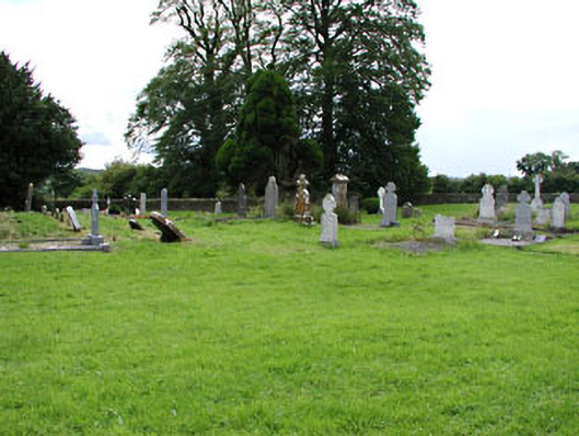 Netterville Manorgraveyard/cemetery · 1608 yd
 Dowth CastleCastle, tower house · 1678 yd
 Knowth Fox CovertWood · 1.4 mi
 Glenmore ForestWood · 1.6 mi
 Proudfootstown CastleCastle, unclassified · 1.9 mi
 Grove IslandIslet · 2.9 mi