What is recorded here
Tall upright stone (H 1.2m; 0.7m x 0.58m) of rectangular cross section situated on SSW facing slope of rising ground overlooking Teelin Bay to S. The long axis of the stone is orientated on a NW-SE axis. The stone does not have any evidence of packing stones around its base and does not possess the typical tapering point at the top which casts doubt about the antiquity of this stone.
Compiled by: Caimin O'Brien
Date of upload/revision: : 29 May 2010
Likely dating to the Bronze Age, the orientation and location suggest it may have had a ritual or funerary function, possibly aligned with seasonal or celestial events. No specific folklore or detailed local tradition is recorded for this site.
The monument record does not grant public access. Check the route and ask the landowner before entering private land.
- What survives
- Recorded monument
Places near here
 Doire Leathan Coastal Promontory FortPromontory fort, coastal · 573 yd
 Mass-rock in Doire LeathanMass-rock · 585 yd
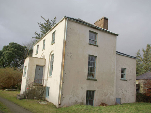 Roxborough Eaglais na hÉireann Reachtaireachtrectory/glebe/vicarage/curate's house · 1146 yd
 IndicatedChurch · 1192 yd
 Cliffs at TeelinPublicly named cliff or headland · 1245 yd
 Dundawoona Point / Pointe an DúinHeadland · 1.1 mi
 CroaghmuckrosMountain / peak · 2.0 mi
 TraloarBeach / strand · 2.1 mi
 TrabaneBeach / strand · 2.4 mi
 International Appalachian Trail Ulster-IrelandWalking route · 2.6 mi
 Slieve League SE TopMountain / peak · 2.9 mi
 CastleCastle, unclassified · 3.0 mi