What is recorded here
Standing stone in Derrymihin West is a rectangular stone in a fieldfence overlooking Bantry Bay. It stands one and a half metres tall, aligned northeast to southwest, with a second similar stone lying at right angles beside it. The pair have watched ships, weather and pasture change for longer than memory, while people passed them without knowing what they were marking.
In pasture overlooking Castletownbere and Bantry Bay to S. Rectangular stone aligned NE-SW (H 1.5m; 1.3m x 0.23m); incorporated into fieldfence. Stone of similar dimensions lies at right angles to this. (O'Brien 1970, 15).
The above description is derived from the published 'Archaeological Inventory of County Cork. Volume 1: West Cork' (Dublin: Stationery Office, 1992). In certain instances the entries have been revised and updated in the light of recent research.
Date of upload/revision: 14 January 2009
The monument record does not grant public access. Check the route and ask the landowner before entering private land.
- What survives
- Recorded monument
Places near here
 IndicatedChurch · 144 yd
 Megalithic structure in Derrymihin WestMegalithic structure · 391 yd
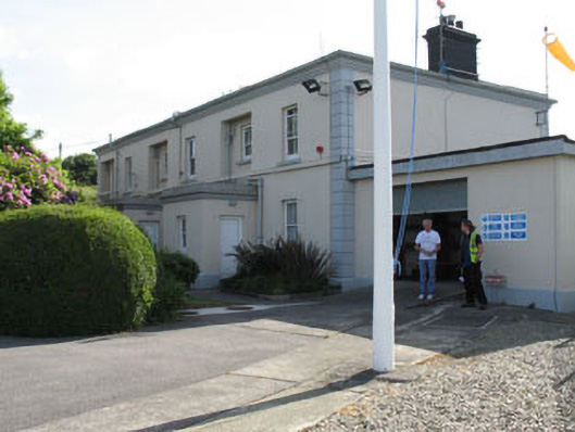 The Lighthouse Dwellingslighthouse keeper's house · 648 yd
 Killeenagh Burial Gd (Disused)Burial ground · 981 yd
 Minane IslandIslet · 1055 yd
 Dinish IslandIslet · 1239 yd
 Berehaven Battalion MemorialMemorial · 1534 yd
 Sarah Walker GalleryGallery · 1733 yd
 Burial ground in DerrycreeveenBurial ground · 1.4 mi
 Eagle HillMountain / peak · 1.5 mi
 Ardnakinna West Island LoopWalking route · 2.0 mi
 Beara WayWalking route · 2.1 mi