What is recorded here
Reclamation stripped the stone from its ancient field and forced it twenty metres south-west to a new boundary, yet it still faces the harbour and Bere Island. The land was taken for pasture, but the stone refused to disappear; it moved instead of breaking. You can still see it standing at the edge of the changed field, marking the place where the old field ended and the new one began.
In reclaimed pasture, on the lower S-facing slopes of Maulin overlooking Berehaven Harbour and Bere Island. This monument constitutes the site of a standing stone. The stone was recorded here in 1993. The field in which it stood has since been reclaimed and the standing stone was moved to its present location (CO115-158----) at the S field boundary, c. 20m to the SW.
The above description is derived from 'The Archaeological Inventory of County Cork. Volume 5' (Dublin: Stationery Office, 2009).
Date of upload: 22 December 2009
The monument record does not grant public access. Check the route and ask the landowner before entering private land.
- What survives
- Recorded monument
Places near here
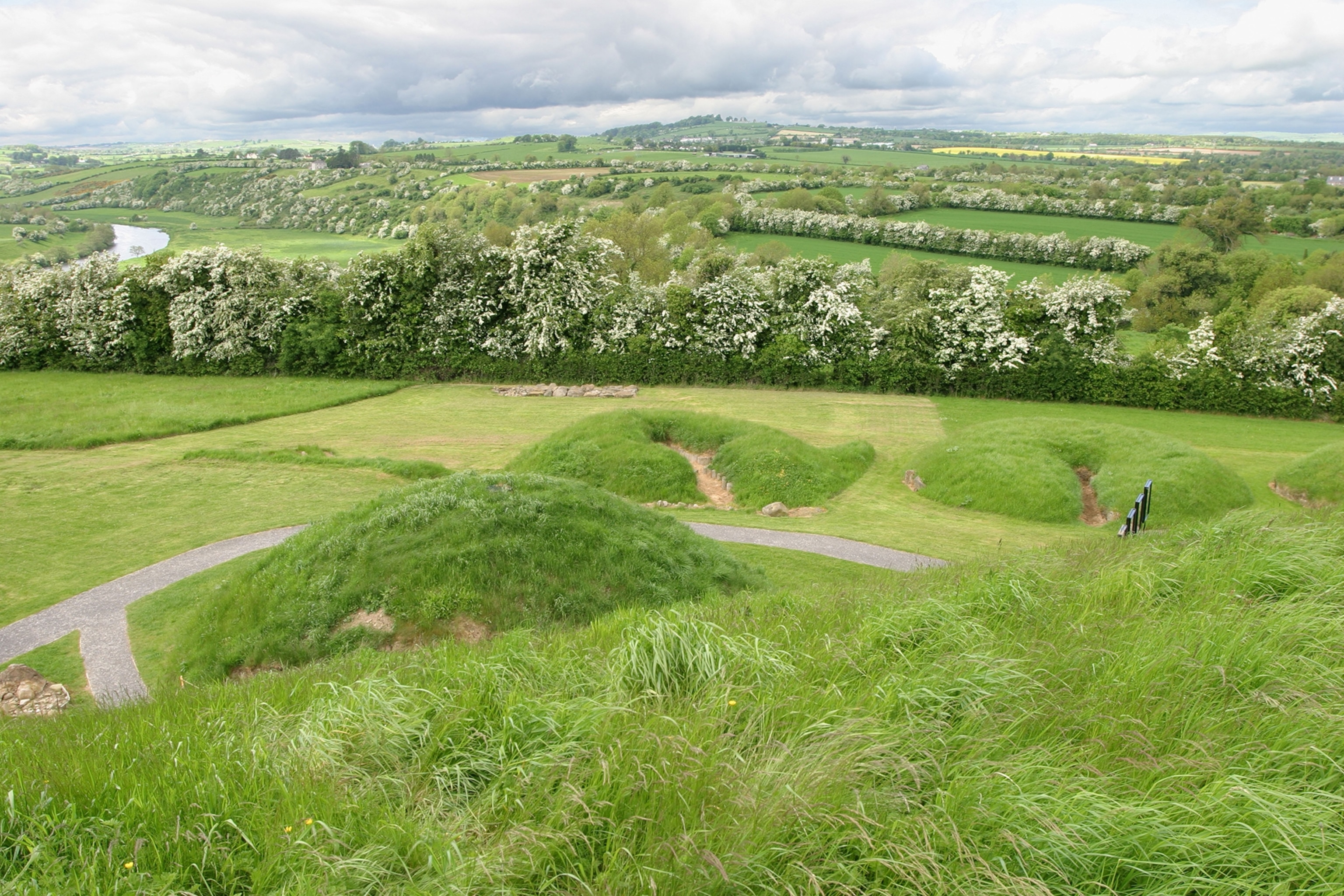 Mound in Derrymihin EastMound · 392 yd
 Field boundary in Derrymihin East,rodeenField boundary · 824 yd
 IndicatedChurch · 1.2 mi
 Beara WayWalking route · 1.4 mi
 Eagle HillMountain / peak · 1.4 mi
 Mass-house in ShanacoumhaMass-house · 1.5 mi
 Minane IslandIslet · 1.5 mi
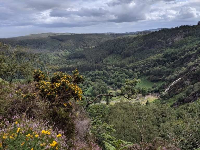 MaulinMountain / peak · 1.7 mi
 TrawnablahaBeach / strand · 1.7 mi
 Dinish IslandIslet · 1.9 mi
 Berehaven Battalion MemorialMemorial · 2.0 mi
 Sarah Walker GalleryGallery · 2.1 mi