What is recorded here
Knocklomena still holds the trial where a woman walked into the mountain and became the rain that feeds the Blackwater valley. The standing stone in Derrygarrane South marks the place where she stepped from the bog path, tilted slightly north as if listening for an answer. People avoid that spot when the water rises because the mountain is not dead; it is waiting to be recognised.
This standing stone is located on the lower SW spur of Knocklomena mountain, from which it overlooks the Blackwater river valley and the Beara Peninsula to S. Situated in extensive bog, it tilts slightly towards N. It is roughly triangular in elevation, it stands 1.3m high, and has maximum basal measurements of 1.3m x .6m; E-W. This stone is not marked on the OS maps. An example of rock art (KE083-082----) is located 100m to E.
The above description is derived from A. O'Sullivan and J. Sheehan (compilers), 'The Iveragh peninsula: an archaeological survey of South Kerry'. Cork University Press (1996), no. 170. In certain instances the entries have been revised and updated in the light of recent research.
Date of upload: 28 July 2013
The monument record does not grant public access. Check the route and ask the landowner before entering private land.
- What survives
- Recorded monument
Places near here
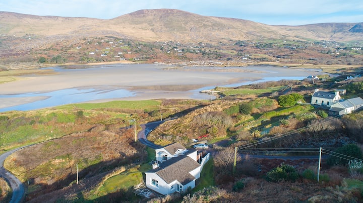 Hut site in Gearha NorthHut site · 686 yd
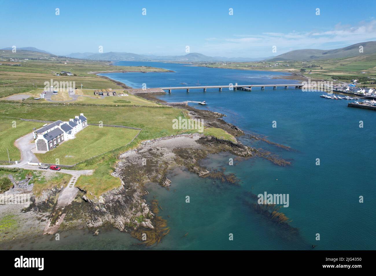 Fulacht fia in Derrygarrane NorthFulacht fia · 850 yd
 KnocklomenaMountain / peak · 1.3 mi
 An Cnoc RiabhachMountain / peak · 2.2 mi
 Ballaghbeama GapViewpoint · 3.1 mi
 Blackwater Bridgebridge · 3.8 mi
 Blackwater Cottagehouse · 3.8 mi
 Dromore CastleCastle · 4.1 mi
 Cappanacush Castle (ruins)Castle · 4.3 mi
 Lackeen PointHeadland · 4.4 mi
 Eirk Bog Nature ReserveNature reserve · 4.5 mi
 Coss StrandBeach / strand · 4.6 mi