What is recorded here
No unique facts supplied for this exact place. The available material only lists many County Down sites without explaining the one you asked about. I will not hide that gap or claim to remember what the facts do not contain.
The official Northern Ireland record identifies this as STANDING STONE. Recorded period: PREHISTORIC; UNCERTAIN. The official map point was placed at the centre of the recorded archaeological site from the source map reference.
The monument record does not grant public access. Check the route and ask the landowner before entering private land.
- What survives
- Recorded monument
Places near here
 St. Patrick's GraveHeritage attraction · 1130 yd
 Holy Trinity CathedralChurch · 1173 yd
 DOWNPATRICK TOWN CROSS; BENEDICTINE MONASTERY; MULTIPERIOD CHURCH SITE; PRE-HISTORIC SETTLEMENT SITE; EARTHWORKS & GRAVEYARD: CATHEDRAL HILL in Demesne OF Down; DownpatrickDOWNPATRICK TOWN CROSS; BENEDICTINE MONASTERY; MULTIPERIOD CHURCH SITE; PRE-HISTORIC SETTLEMENT SITE; EARTHWORKS & GRAVEYARD: CATHEDRAL HILL · 1201 yd
 St. Patricks Visitor CentreMuseum · 1248 yd
 CASTLE in Demesne OF Down; DownpatrickCASTLE · 1259 yd
 Southwell Charity School And AlmshousesSchool · 1273 yd
 BAWN: BALLYDUGAN BAWN in BallyduganBAWN: BALLYDUGAN BAWN · 1306 yd
 St Margaret's Down Parish ChurchVisitor information · 1562 yd
 Church Street Car ParkVisitor information · 1586 yd
 Hollymount ForestWood · 1590 yd
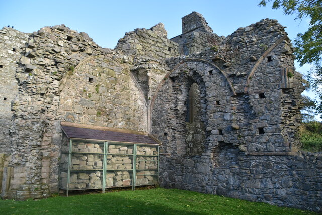 Inch AbbeyArchaeological place · 1.2 mi
 Downshire Hospital Highway to HealthWalking route · 1.3 mi