What is recorded here
In relatively level pasture. A report in 1976 (SMR file) recorded a possible standing stone at this location but suggested that it may have been a scratching post for cattle. The stone has since been removed. A hut site (LF010-119----) is located c. 80m to the SE.
Compiled by: Patrick F. O'Donovan
Date of upload: 14 December 2012
The monument record does not grant public access. Check the route and ask the landowner before entering private land.
- What survives
- Recorded monument
Places near here
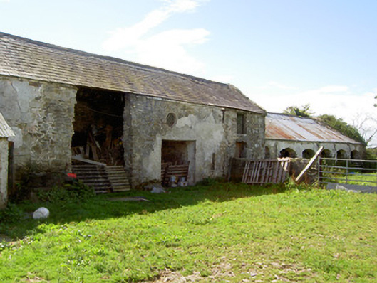 Dalystown Houseoutbuilding · 276 yd
 Megalithic structure in DalystownMegalithic structure · 281 yd
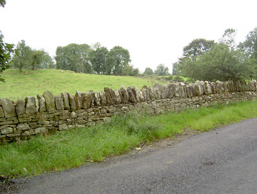 gates/railings/wallsgates/railings/walls · 536 yd
 Enclosure in DalystownEnclosure · 537 yd
 Bakers FortCastle, ringwork · 1.8 mi
 1798 Monumentmonument · 1.8 mi
 Granard MotteMotte-and-bailey castle remains · 1.9 mi
 CastleCastle, unclassified · 1.9 mi
 CartronfreeMountain / peak · 2.0 mi
 Derrycassan WoodsWood · 2.3 mi
 ToomeMountain / peak · 2.8 mi
 InchmoreIslet · 2.9 mi