What is recorded here
Standing stone in Curraghcloonabro East is a compact, rectangular stone, 1.06 m tall and aligned northwest to southeast on a north-facing pasture slope in County Cork. Its small size and sharp edges suggest deliberate placement rather than casual rockfall, yet no human name or date remains attached to it. It may have marked a boundary, a burial, a path or a warning, but the absence of explanation leaves it holding more mystery than measurement.
In pasture, on N-facing slope. Stone (H 1.06m; 0.21m x 0.12m) is rectangular in plan, long axis NW-SE.
The above description is derived from the published 'Archaeological Inventory of County Cork. Volume 4: North Cork' (Dublin: Stationery Office, 2000). In certain instances the entries have been revised and updated in the light of recent research.
Date of upload/revision: 14 January 2009
The monument record does not grant public access. Check the route and ask the landowner before entering private land.
- What survives
- Recorded monument
Places near here
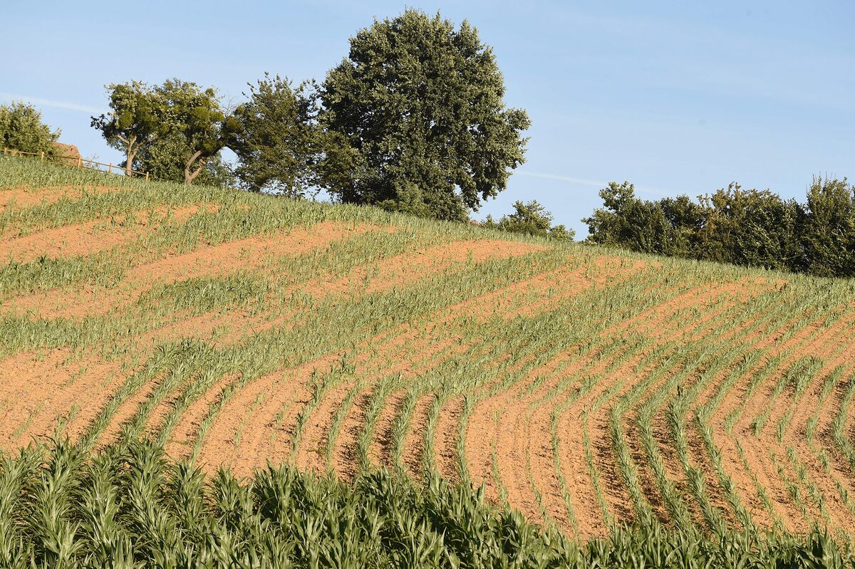 Burnt spread in Curraghcloonabro EastBurnt spread · 1064 yd
 Cill ma Guaire (in Ruins)Church · 1310 yd
 Crannavella TreeHoly well · 1359 yd
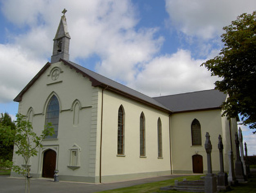 Saint Joseph's Churchchurch/chapel · 1659 yd
 TumulusCastle, motte · 1.7 mi
 Castle (Site of)Castle, unclassified · 2.1 mi
 Windmill HillMountain / peak · 3.7 mi
 Holy Cross CemeteryGraveyard · 4.3 mi
 Ballyhoura WayWalking route · 4.7 mi
 Battle of LiscarrollMajor battlefield · 5.1 mi
 ToberacappeenSpring · 5.5 mi
 National Co-op MuseumMuseum · 5.6 mi