What is recorded here
Mortals may have set the stone or found it already standing. Either way, the ground remembers the shape of human attention.
The official Northern Ireland record identifies this as STANDING STONE. Recorded period: PREHISTORIC; UNCERTAIN. The official map point was placed at the centre of the recorded archaeological site from the source map reference.
Likely dating to the Neolithic or Bronze Age, this standing stone may have served a ceremonial, astronomical, or territorial function. No specific folklore or detailed local tradition is recorded for this site.
The monument record does not grant public access. Check the route and ask the landowner before entering private land.
- What survives
- Recorded monument
Places near here
 A.P. SITEA.P. SITE, possible enclosure · 219 yd
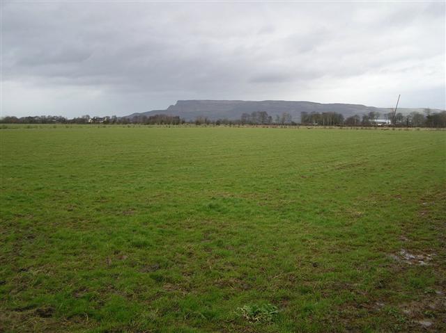 ENCLOSURE in GlebeENCLOSURE · 392 yd
 CHURCH & GRAVEYARD: BALLYWILLIN in GlebeCHURCH & GRAVEYARD: BALLYWILLIN · 494 yd
 CASTLE (unlocated; O.S. memoir site) CASTLE AN TEENIE in PortrushCASTLE (unlocated; O.S. memoir site) CASTLE AN TEENIE · 1.3 mi
 East StrandBeach / strand · 1.3 mi
 White RocksVisitor information · 1.4 mi
 Signal boxRailway Station Structures · 1.5 mi
 Water towerRailway Station Structures · 1.5 mi
 C18TH HOUSE on site of C17TH CASTLE in BallymagarryC18TH HOUSE on site of C17TH CASTLE · 1.6 mi
 West StrandBeach / strand · 1.6 mi
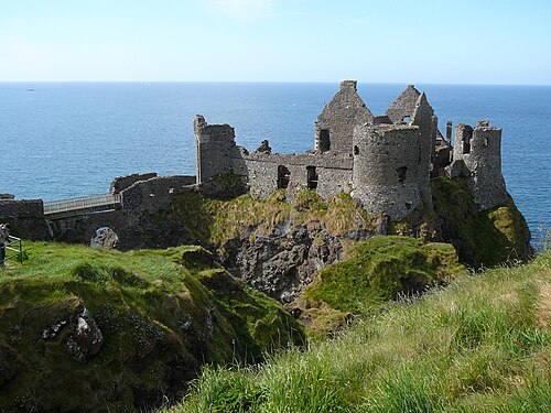 Dunluce CastleHeritage attraction · 2.5 mi
 Little SkerriesIslet · 2.5 mi