What is recorded here
In an area of partially gorse-covered rough grazing, on a SW-facing slope with views across Long Island Sound. This standing stone (0.6m x 0.26m; H 1.1m), which leans slightly to the W, is rectangular in plan and is orientated NNE-SSW. Field clearance rubble has been placed in the general area around the base of the stone.
The above description is derived from 'The Archaeological Inventory of County Cork. Volume 5' (Dublin: Stationery Office, 2009).
Date of upload: 22 December 2009
Probably dates to the Late Neolithic or Bronze Age, given the typical form and setting of such standing stones in Ireland. Its orientation and location may have had ritual or territorial significance, possibly linked to landscape features or seasonal markers.
The monument record does not grant public access. Check the route and ask the landowner before entering private land.
- What survives
- Recorded monument
Places near here
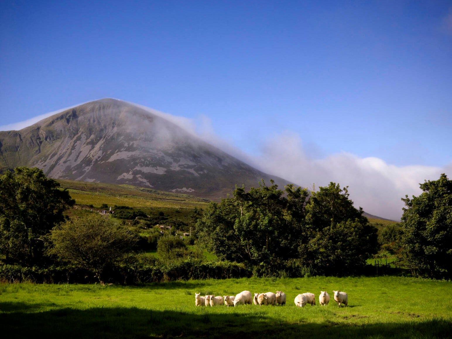 IndicatedEcclesiastical enclosure · 617 yd
 Coney IslandIslet · 620 yd
 Church in CroaghChurch · 680 yd
 Country house in CroaghCountry house · 837 yd
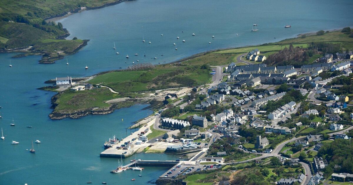 Fulacht fia in CaherluskyFulacht fia · 913 yd
 Long IslandIsland · 1649 yd
 Sailor's HillViewpoint · 1.1 mi
 Castle (in Ruins)Castle, unclassified · 1.7 mi
 Schull HarbourBay · 1.9 mi
 Coosheen PointHeadland · 2.0 mi
 Cadogan's StrandHeritage attraction · 2.3 mi
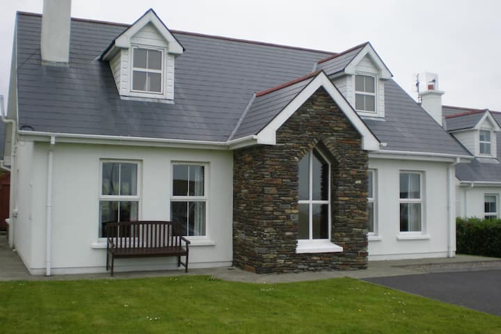 Schull "An Taisce"Visitor information · 2.3 mi