What is recorded here
Standing stone described by O'Kelly (1944, 23) as following; 'Situated at the base of the W. part of Knockainy Hill. It is a limestone pillar 4' 6" [1.37m] high and measures 1' 3" [0.38m] by 10" [0.25m] at the base. It leans considerably to the S'.
In 2004 this standing stone was described as 'This stone is located in a field to the south of the hill in Correenfeeradda townland. It is 1.15m high and rectangular in plan, measuring 0.3m by 0.3m at its bas0e' (Condit and Coyne 2004).
Compiled by: Caimin O'Brien
Date of upload: 06 August 2019
Dated to the Neolithic or Early Bronze Age, this standing stone may have had ritual or territorial significance, as was common with such monuments in prehistoric Ireland. No specific folklore or use is recorded for this site.
The monument record does not grant public access. Check the route and ask the landowner before entering private land.
- What survives
- Recorded monument
Places near here
 BarrowBarrow, ditch barrow · 332 yd
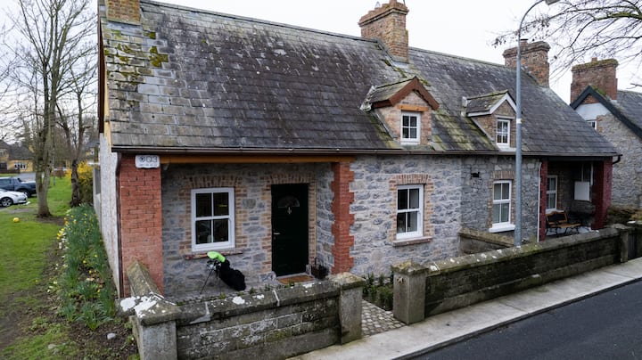 Enclosure in BaggotstownEnclosure · 604 yd
 KnockainyMountain / peak · 1006 yd
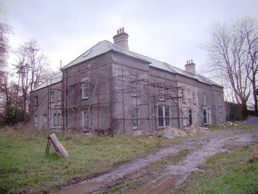 Baggotstown Housecountry house · 1402 yd
 Knockainy Castle (in ruins)Castle, tower house · 1425 yd
 Kilballyowen HouseCastle, unclassified · 1479 yd
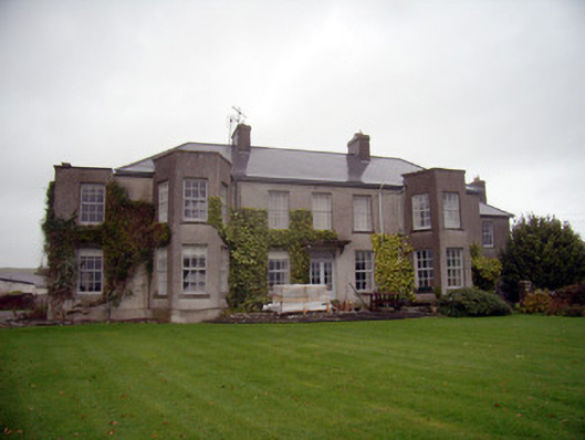 Knockainy Studcountry house · 1537 yd
 Glen BogForest · 1.4 mi
 Flat cemetery in Knockainy WestFlat cemetery · 1.4 mi
 St Patrick's WellSpring · 4.7 mi
 Kilteely HillMountain / peak · 4.7 mi
 St. Patrick's WellSpring · 5.1 mi