What is recorded here
In pasture, on a N-facing slope overlooking the estuary of the River Ilen. This standing stone (1.2m x 0.4m; H 0.7m), rectangular in plan and triangular in section, is orientated NE-SW. The stone leans to the SE.
The above description is derived from 'The Archaeological Inventory of County Cork. Volume 5' (Dublin: Stationery Office, 2009).
Date of upload: 22 December 2009
Dated to the Late Neolithic or Early Bronze Age, this standing stone may have functioned as a territorial marker, ceremonial focus, or astronomical alignment feature. No specific folklore is recorded, but its orientation and location suggest a possible ritual or symbolic connection to the river and landscape.
The monument record does not grant public access. Check the route and ask the landowner before entering private land.
- What survives
- Recorded monument
Places near here
 New Bridgebridge · 301 yd
 Abbey Strowry (in Ruins)Church · 351 yd
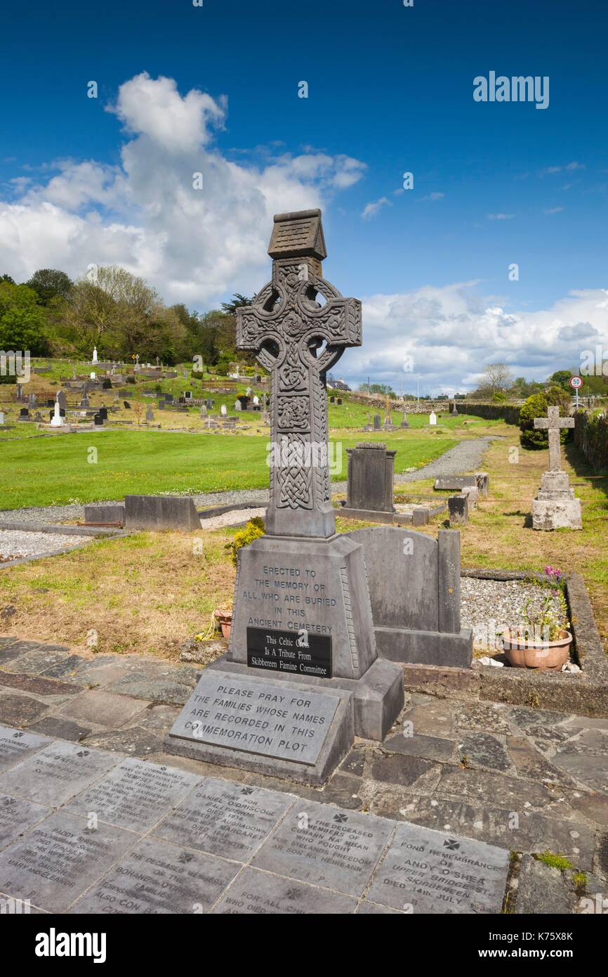 Earthwork in AbbeystrowryEarthwork · 908 yd
 Heritage CentreMuseum · 1067 yd
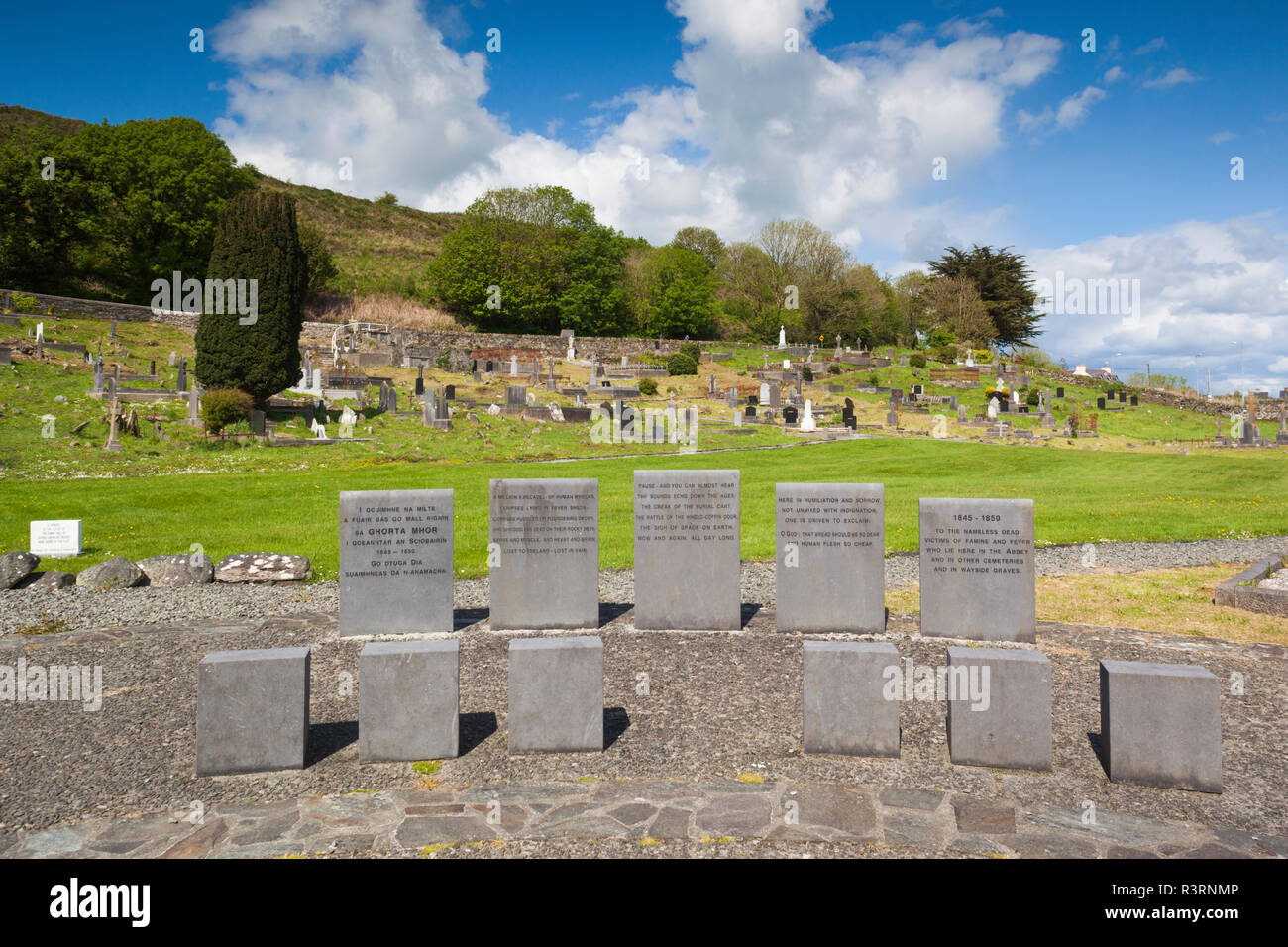 Enclosure in AbbeystrowryEnclosure · 1287 yd
 Wild Atlantic WayVisitor information · 1640 yd
 Bishop MahonyMemorial · 1644 yd
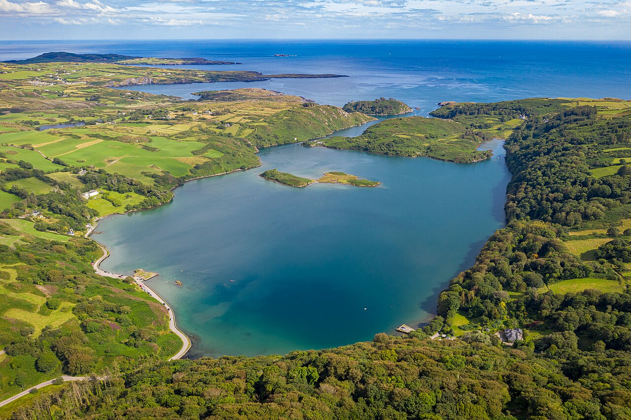 Lough HyneVisitor information · 1.3 mi
 Site of CastleCastle, unclassified · 1.3 mi
 Coolngrane Fairy FortFort · 1.8 mi
 Monterey CypressMonterey Cypress · 2.8 mi
 KnockomaghMountain / peak · 3.1 mi