What is recorded here
Cordal West stands as a rectangular sandstone block rising 1.45 metres from water-saturated bog on a west-facing slope in County Kerry. Aligned east-west, it commands a broad view across the northern plain while its base remains hidden beneath forty centimetres of rainwater. The surrounding landscape holds no other stone, leaving this solitary marker to watch the changing light and hold the memory of the valley below.
Standing stone described by O'Hare (1996, 11) as follows; 'This sandstone block, which is roughly rectangular in section, stands in an area of mountainous bog, on a break in a west facing slope. The site commands a fine view over the lowlying plain to the north and northwest. Standing in a slight depression, the base of the stone was at the time of this visit, concealed to a height of 40cm by water. The stone, which is aligned east west, stands to a height of 1.45m. it measures 95cm in breadth and 45cm in width and appears to bear no distinguishing marks. The immediate area appears to be devoid of stone'.
Compiled by: Caimin O'Brien
Date of upload: 21 April 2022
Likely dating to the Neolithic or Early Bronze Age, this standing stone may have had ceremonial or territorial significance. Its positioning on a prominent slope suggests it could have been used for ritual purposes, astronomical observations, or as a boundary marker in a prehistoric landscape.
The monument record does not grant public access. Check the route and ask the landowner before entering private land.
- What survives
- Recorded monument
Places near here
 Kilnananima Church (in ruins)Church · 1374 yd
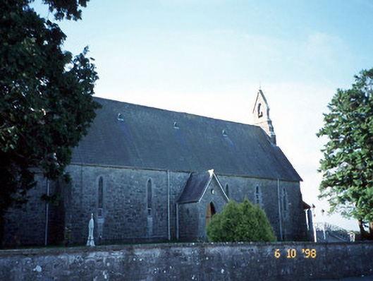 Catholic Church of the Immaculate Conceptionchurch/chapel · 1614 yd
 Site of Ardnagragh CastleCastle, unclassified · 1710 yd
 Ardnacreach CastleCastle · 1.0 mi
 Enclosure in Cordal WestEnclosure · 1.1 mi
 SlievebrickanMountain / peak · 1.3 mi
 Burnt spread in Breahig (trughanacmy By.)Burnt spread · 1.4 mi
 Mount EagleMountain / peak · 3.1 mi
 Crag CaveCave · 4.0 mi
 Barna BogForest · 4.6 mi
 Nohaval WoodWood · 10 mi
 PoulatouirtCave · 11 mi