What is recorded here
Located on a broad plateau. Described by Fewer (1989) as a rectangular stone (dims. 0.45m x 0.75m; H 0.85m) oriented NNW-SSE which may have been incorporated into a field bank. It is not now visible at ground level. A standing stone (WA027-075----) is c. 200m to the S.
Fewer, T. G. (1989) A standing stone at Corballymore, County Waterford. Decies, No. 41, 42-5.
The above description is derived from the published 'Archaeological Inventory of County Waterford' (Dublin: Stationery Office, 1999). In certain instances the entries have been revised and updated in the light of recent research.
Compiled by: Michael Moore
Date of upload/revision: 10 June 2011
Likely dating to the Late Neolithic or Bronze Age, the stone's orientation and possible integration into a field system suggest it may have had a ritual or territorial function. No specific folklore or symbolic carvings are recorded.
The monument record does not grant public access. Check the route and ask the landowner before entering private land.
- What survives
- Recorded monument
Places near here
 Enclosure in Corbally BegEnclosure · 662 yd
 Corbally Moreoutbuilding · 844 yd
 Main ForestWood · 873 yd
 Cist in Corbally BegCist · 881 yd
 Lower ForestWood · 1042 yd
 South East Coastal DriveVisitor information · 1427 yd
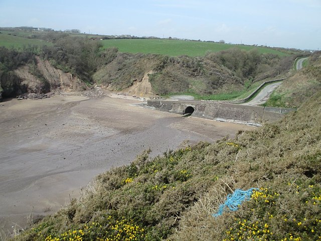 Ballymacaw CoveBeach / strand · 1557 yd
 The Baldy ManViewpoint · 1.1 mi
 Rathmoylan-Ballymacaw Cliff WalkWalking route · 1.2 mi
 Memory of the crew of "Rescue 111"Memorial · 1.2 mi
 Church (in ruins)Church · 1.3 mi
 Rathmoylan CoveBeach / strand · 1.5 mi