What is recorded here
Two stones stand twenty-eight metres apart on a Donegal ridge, perhaps marking a boundary forgotten before memory began. They are small enough to touch, yet large enough to refuse explanation. Cattle may have walked past them for centuries, treating the stones as ordinary furniture of the field. What seems like nothing at first may be a threshold waiting for someone to notice it.
Two standing stones. One is .61m high × 0.7m wide; NW-SE. 28.4m NE of this first stone is another .65m high × c. 0.7m wide; NW-SE. It is a possibility that they are the remains of a disused field boundary. Situated in good pasture land on a NE-SW running ridge.
The above description was derived from the 'Archaeological Survey of County Donegal. A description of the field antiquities of the County from the Mesolithic Period to the 17th century.' Compiled by: Brian Lacey with Eamon Cody, Claire Cotter, Judy Cuppage, Noel Dunne, Vincent Hurley, Celie O'Rahilly, Paul Walsh and Seán Ó Nualláin (Lifford: Donegal County Council, 1983). In certain instances the entries have been revised and updated.
Date of upload: 22 September 2008
The monument record does not grant public access. Check the route and ask the landowner before entering private land.
- What survives
- Recorded monument
Places near here
 St. Columbkilles WellHoly well · 602 yd
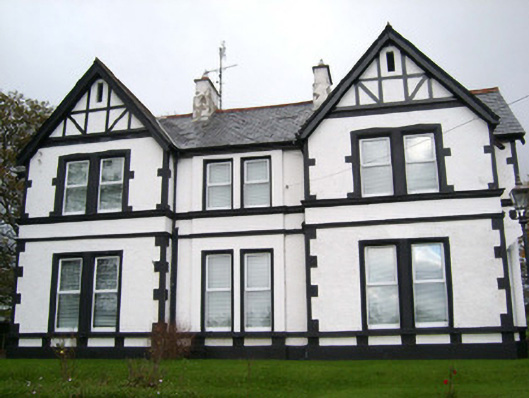 Ardmeelish Houserectory/glebe/vicarage/curate's house · 948 yd
 Standing stone in Townparks (ballyshannon Ed)Standing stone · 994 yd
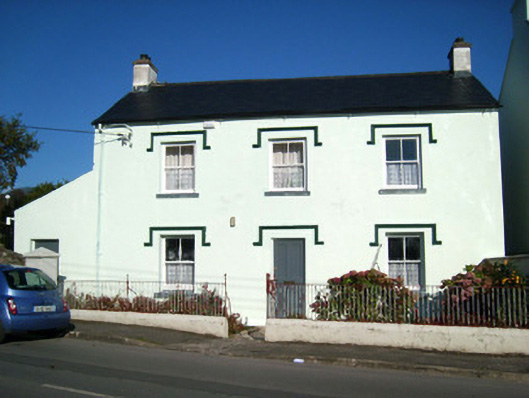 schoolschool · 1032 yd
 CastleCastle, unclassified · 1316 yd
 Rory GallagherMemorial · 1343 yd
 St Anne's Church GraveyardGraveyard · 1448 yd
 Castle in ruinsCastle, unclassified · 1.4 mi
 HawthornHawthorn · 2.5 mi
 Wardtown StrandBeach / strand · 2.5 mi
 Tullan StrandBeach / strand · 2.9 mi
 Dark Cliffs at KilbarronPublicly named cliff or headland · 3.3 mi