What is recorded here
In pasture, 170m SW of barrow (LI032-153001-). Not marked on OSi historic maps. Identified by Christine Tarbett (1987, 53) and described as; ‘The standing stone stands 1.3m in height and 90cms in width. The sandstone slab is orientated from ENE to WSW.’ Monument visible on Digital Globe orthophoto taken between 2011-13 and on Google Earth orthoimage taken 14/09/2019.
See attached elevation drawing of stone taken from Christine Tarbett.
Compiled by: Fiona Rooney
Date of upload: 27 May 2021
Probably dates to the Neolithic or Bronze Age, given its proximity to a barrow, suggesting a funerary or ritual landscape. Standing stones in such contexts may have marked territorial boundaries, aligned with celestial events, or served as memorials. Local folklore is not recorded.
The monument record does not grant public access. Check the route and ask the landowner before entering private land.
- What survives
- Recorded monument
Places near here
 Ahnageeragh Bridgebridge · 371 yd
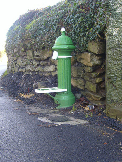 water pumpwater pump · 634 yd
 BarrowBarrow, bowl-barrow · 700 yd
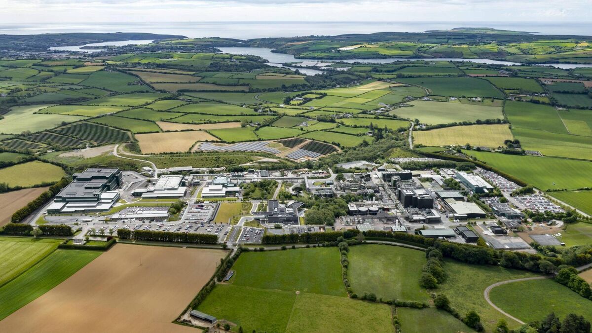 Settlement cluster in BarrysfarmSettlement cluster · 751 yd
 CastleCastle, motte · 1748 yd
 Flat cemetery in Knockainy WestFlat cemetery · 1.4 mi
 Mote - HachuredCastle, motte · 1.7 mi
 St Patrick's WellSpring · 3.1 mi
 Kilteely HillMountain / peak · 3.4 mi
 St. Patrick's WellSpring · 3.8 mi
 Ballinvreena LoopVisitor information · 5.7 mi
 SlievereaghMountain / peak · 6.5 mi