What is recorded here
John Feehan and Caimin O'Brien searched the marked Coolagh area but never found the standing stone or local memory of it. The place may have been buried, broken, or never recorded correctly. What is certain is that the stone vanished before human witness, leaving only an empty coordinate and a failed search behind.
Unable to locate any trace of Standing Stone nor was there any local knowledge of such a standing Stone. Standing Stone identified by John Feehan, unable to locate any such monument in area marked on OS 6-inch map.
Compiled by: Caimin O'Brien
Date of upload: 17 December 2007
The monument record does not grant public access. Check the route and ask the landowner before entering private land.
- What survives
- Recorded monument
Places near here
 RaheenFairy fort / earthen ringfort · 1478 yd
 Site of CastleCastle, unclassified · 1.0 mi
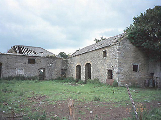 Castlecuffestables · 1.1 mi
 Castle Cuffe (ruins)Castle · 1.1 mi
 Enclosure in CastlecuffeEnclosure · 1.4 mi
 Church (in Ruins), Grave YardChurch · 1.5 mi
 Church (in Ruins), Graveyard, CarrigeenChurch · 1.7 mi
 Kilmanman church (in Ruins), GraveyardChurch · 2.3 mi
 Giant's Grave LoopWalking route · 3.2 mi
 Knockhill GroveWood · 3.8 mi
 Lowerton HillMountain / peak · 3.9 mi
 Kinnitty ForestForest · 4.1 mi