
What is recorded here
In pasture on top of a hill with good views of undulating countryside. Remains of a long narrow rectangular church (ext. dims. 7.5m N-S; 20.7m E-W; wall T 0.8m) with gable surviving to full height and partial remains of E and S walls with N wall surviving 3m high. There are two blocked windows visible on the S wall with a possible doorway located at the centre of the N wall. The W gable has a long narrow rectangular window at first floor level with ogee head missing. Barrel vaulted chamber at W end of church probable priest chamber. Unable to examine due to dense overgrowth. The walls of the church are constructed with roughly coursed limestone rubble. Located in the centre of a large irregular shaped graveyard (OF032-005003-) enclosed by a stone wall. There are several 18th-century headstones along with unmarked gravestones probably of an earlier date. Two portions of a rotary quern stone were found along the external face of the S wall. Probable late medieval church with two storey priest accommodation at W end.
The above description is derived from the published 'Archaeological Inventory of County Offaly' (Dublin: Stationery Office, 1997). In certain instances the entries have been revised and updated in the light of recent research.
Date of upload: 23 May 2011
The monument record does not grant public access. Check the route and ask the landowner before entering private land.
- What survives
- Recorded monument
Places near here
 CairnCairn, wayside cairn · 223 yd
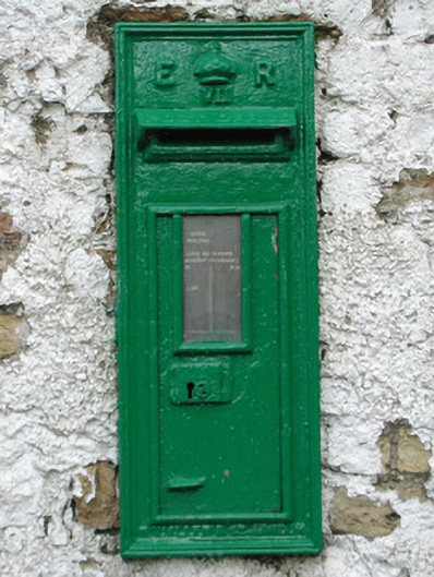 post boxpost box · 875 yd
 Enclosure in RathrobinEnclosure · 1420 yd
 Rathrobincountry house · 1.2 mi
 Rathrobiin Castle in RuinsCastle, unclassified · 1.2 mi
 Castle Cuffe (ruins)Castle · 2.2 mi
 Kilmanman church (in Ruins), GraveyardChurch · 2.5 mi
 Lowerton HillMountain / peak · 2.9 mi
 Mullagh HillMountain / peak · 2.9 mi
 Church (in Ruins), Graveyard, CarrigeenChurch · 3.1 mi
 Mahon's WoodWood · 3.5 mi
 Ross WoodWood · 3.7 mi
Other information
Photo: Credit not shown in the picture search · Rights wording not checked; contact us if this picture should be removed