What is recorded here
According to Curtin (2008, 143-4) 'this standing stone is situated on a hill in a pasture field, 0 S 6 inch Sheet No. 19, 74mm from the western margin and 430mm from the southern margin. It is 136cm in height, 36cm in width and 26cm in thickness. The stone is not recorded in the Ordnance Survey six inch sheets or the Discovery Series Map No. 64 (1996), nor has it been previously noted. It is situated one kilometre to the east of two standing stones of a similar size described in NMAJ vol. 42, 2002, pp 177-8. This suggests significant Bronze Age activity in the area, a district of good farmland. The stone is aligned southwest by northeast towards Knockpatrick Hill which may have some ritual significance for these early farming communities. The hill is on the edge of the escarpment of the west Limerick hill-country, west of Shanagolden village on the Kerry Hill road. From the stone there are considerable views of the surrounding countryside to the north and the east. Much of the area around the stone has become depressed due to the activity of cattle using the stone as a scratching post.'
Curtin J. (2008) 'Two Unrecorded Standing Stones in West Limerick' NMAJ, vol 48, 143-4.
Compiled by: Denis Power
Date of Upload: 3 August 2012
Probably dates to the Neolithic or Bronze Age, given the typical period for standing stones in Ireland. Its purpose may have been ritual or ceremonial, possibly linked to territorial markers or astronomical alignments, though specific folklore or use is not recorded.
The monument record does not grant public access. Check the route and ask the landowner before entering private land.
- What survives
- Recorded monument
Places near here
 Not shown.Fairy fort / earthen ringfort · 211 yd
 Fulacht fia in CloonyclohassyFulacht fia · 258 yd
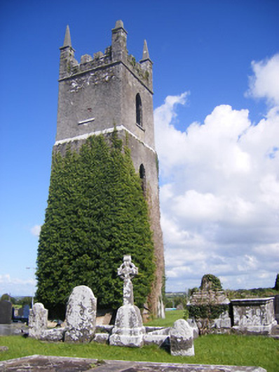 Shanagolden Churchchurch/chapel · 1344 yd
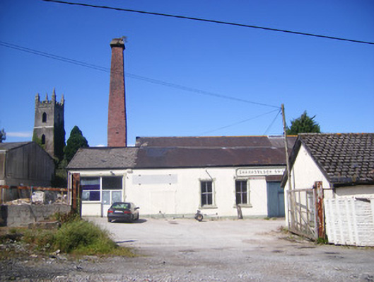 Shanagolden Creamerycreamery, chimney · 1364 yd
 Castle (Site of)Castle, unclassified · 1601 yd
 Shanid Castle (in ruins)Castle, Anglo-Norman masonry castle · 1.2 mi
 Monterey CypressMonterey Cypress · 2.8 mi
 Foynes Flying Boat & Maritime MuseumMuseum · 2.9 mi
 Foynes Island ViewpointViewpoint · 3.0 mi
 Gammarel PointHeadland · 3.3 mi
 Foynes IslandIsland · 3.5 mi
 Battery PointHeadland · 3.6 mi