What is recorded here
In rough pasture, on a slight rise at the foot of a N-facing slope. An upright stone (H 1.45m; Wth 0.4m; T 0.25m), with its long axis aligned E-W. The stone now leans slightly to the W. It is roughly rectangular in profile and section, and the top surface slopes up to the E. The upper half of the stone has been polished smooth by cattle rubbing against it.
Compiled by: Denis Power
Date of upload: 26 August 2011
Probably dating to the Neolithic or Bronze Age, this standing stone may have had ceremonial or territorial significance. Its alignment and positioning suggest possible ritual use or connection to landscape features, though specific folklore or detailed function is not recorded.
The monument record does not grant public access. Check the route and ask the landowner before entering private land.
- What survives
- Recorded monument
Places near here
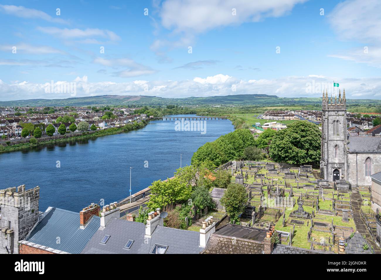 Lisnamnaroe - HachuredFairy fort / earthen ringfort · 928 yd
 Fulacht fia in CloonyclohassyFulacht fia · 939 yd
 Castle (Site of)Castle, unclassified · 1757 yd
 Waterpark Housecountry house · 1.1 mi
 Shanid Castle (in ruins)Castle, Anglo-Norman masonry castle · 1.3 mi
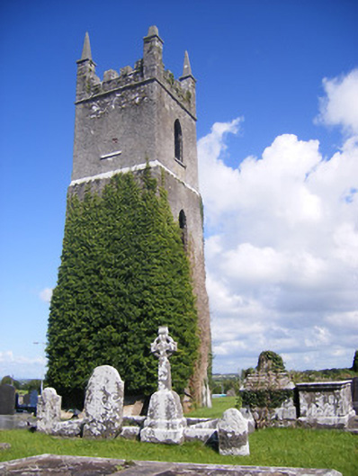 Shanagolden Churchchurch/chapel · 1.4 mi
 Monterey CypressMonterey Cypress · 2.6 mi
 Foynes Flying Boat & Maritime MuseumMuseum · 3.1 mi
 Foynes Island ViewpointViewpoint · 3.2 mi
 Gammarel PointHeadland · 3.6 mi
 Battery PointHeadland · 3.7 mi
 Foynes IslandIsland · 3.7 mi