What is recorded here
Standing stone in Cloontreem is a rough rectangular stone leaning southeast on a ridge above Castletownbere and the Miskish Mountains. It stands in pasture, not hidden in forest, as if anyone passing could read its tilt and answer the sea below. The stone may have marked a boundary, a meeting place or a warning about the water, yet it still points toward what people once watched from that ridge.
In rough pasture, on a NE-SW ridge with a view S-W to Castletownbere and Berehaven Harbour and the Miskish Mountains. This standing stone (0.75m x 0.35m; H 1.25m) is roughly rectangular in plan and is orientated NE-SW. The stone leans to the SE.
The above description is derived from 'The Archaeological Inventory of County Cork. Volume 5' (Dublin: Stationery Office, 2009).
Date of upload: 22 December 2009
Likely dating to the Neolithic or Bronze Age, this standing stone may have had ceremonial or territorial significance, possibly aligned with landscape features or astronomical events. No specific folklore or recorded use has been associated with the site.
The monument record does not grant public access. Check the route and ask the landowner before entering private land.
- What survives
- Recorded monument
Places near here
 Killeenagh Burial Gd (Disused)Burial ground · 648 yd
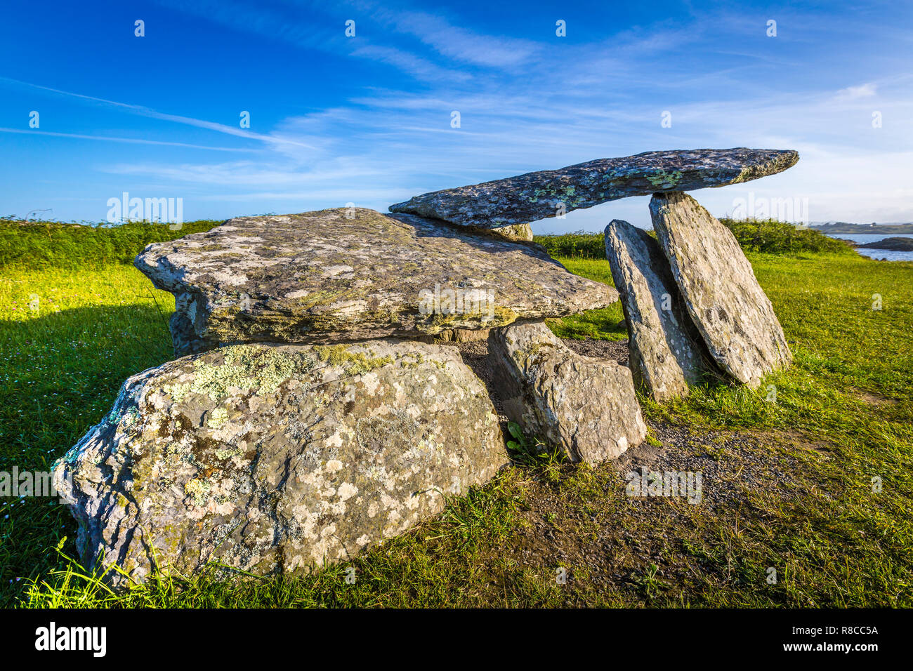 Wedge tomb in Derrymihin WestWedge tomb · 812 yd
 Aghakista BrBridge · 990 yd
 Tuck Mill (Disused)Mill, fulling · 1041 yd
 Eagle HillMountain / peak · 1565 yd
 Berehaven Battalion MemorialMemorial · 1.0 mi
 Dinish IslandIslet · 1.1 mi
 Sarah Walker GalleryGallery · 1.1 mi
 Minane IslandIslet · 1.2 mi
 Beara WayWalking route · 1.6 mi
 Burial ground in DerrycreeveenBurial ground · 1.9 mi
 Castle (in Ruins)Castle, tower house · 2.4 mi