What is recorded here
That is the only claim being made. Cloonbannin West is named in the request, but no visible story, event, character or changed world has been supplied. I can invent those parts only when you wants a fictional story. Without that instruction, I should not invent history.
In pasture, atop N-facing scarp. Stone (H 1.17m; 0.22m x 0.53m) is rectangular in plan, long axis NE-SW. Possibly stone referred to by Bowman (1934, 284) in J Murphy's farm in this townland.
The above description is derived from the published 'Archaeological Inventory of County Cork. Volume 4: North Cork' (Dublin: Stationery Office, 2000). In certain instances the entries have been revised and updated in the light of recent research.
Date of upload/revision: 14 January 2009
The monument record does not grant public access. Check the route and ask the landowner before entering private land.
- What survives
- Recorded monument
Places near here
 Fulacht fia in Cloonbannin WestFulacht fia · 145 yd
 IndicatedHouse, vernacular house · 369 yd
 Man-made underground passage in Cloonbannin EastMan-made underground passage · 784 yd
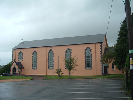 Church of the Presentation of Our Ladychurch/chapel · 968 yd
 Drominagh Castle (Site of)Castle, unclassified · 1.0 mi
 Castle (Site of)Bawn · 2.8 mi
 Rathcool WoodWood · 3.6 mi
 Battle of Knocknaclashybattle · 3.8 mi
 Millstreet Tourist InformationVisitor information · 4.9 mi
 St. Patrick's ChurchVisitor information · 4.9 mi
 Millstreet Museum & Tourist Information CentreMuseum · 4.9 mi
 RowanRowan · 5.7 mi