What is recorded here
In undulating glacial pasture on the immediate N bank of a dredged stream that marks the townland boundary with Clonleame. The standing stone is located 25m W of a local road that bisects both Clonmorrill and Clonleame townlands. The stone is situated at the S end of a large field reclaimed in 2018. There are few known monuments in the vicinity of the site with the exception of two ringforts (WM014-026/-015----) located 300m W and 900m N respectively. The standing stone is located N of a trackway (no longer extant) depicted on OSi 1840 ed. 6-inch map, the standing stone is not depicted on any historic OSi maps. The standing stone was identified by the writer during fieldwork in 2021 as a limestone standing stone with a roughly rectangular cross-section (H 1.15m; Wth 0.45m) and a (possibly) broken top. The standing stone sits in a low ridge or potential cairn (Dims. 5.5m N/S x 3m E/W; H 0.5m). The monument is not visible on Google Earth orthoimages as it is located in shade under the hedgerow that lines the stream to the S.
Compiled by: Edmond O’Donovan
The monument record does not grant public access. Check the route and ask the landowner before entering private land.
- What survives
- Recorded monument
Places near here
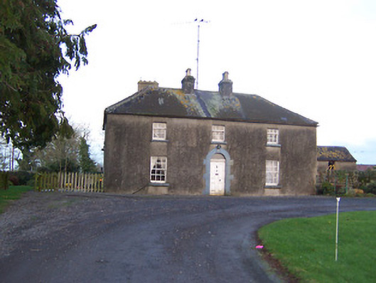 Ashlawnhouse · 1631 yd
 Corn MillMill, corn · 1.2 mi
 Dotted outlineFairy fort / ringfort · 1.6 mi
 OutlinedFairy fort / earthen ringfort · 1.9 mi
 Martinstown Castle in RuinsCastle, tower house · 1.9 mi
 IndicatedCastle, motte · 2.4 mi
 European YewEuropean Yew · 2.8 mi
 Persian WalnutPersian Walnut · 2.8 mi
 FraineMountain / peak · 4.1 mi
 Drewstown LittleMountain / peak · 5.5 mi
 FarmaphobiaHeritage attraction · 6.8 mi
 Causey FarmHeritage attraction · 6.8 mi