What is recorded here
Cloghanelinaghan is an empty slope where a standing stone once watched the Ferta river. About 1900, neighbours broke the stone into fragments and buried it beneath the soil. The mountain kept the secret, but the visible marker disappeared. What remains is a absent shape, a loss that can still be pointed to on the old map.
The ‘Standing Stone’ marked on the first edition of the OS map at this location no longer survives. It appears to have been broken up and buried about the year 1900 (local information). It was situated on the S facing lower slope of Castlequin mountain, overlooking the Ferta river.
The above description is derived from A. O'Sullivan and J. Sheehan (compilers), 'The Iveragh peninsula: an archaeological survey of South Kerry'. Cork University Press (1996), no. 228. In certain instances the entries have been revised and updated in the light of recent research.
Date of upload: 28 July 2013
The monument record does not grant public access. Check the route and ask the landowner before entering private land.
- What survives
- Recorded monument
Places near here
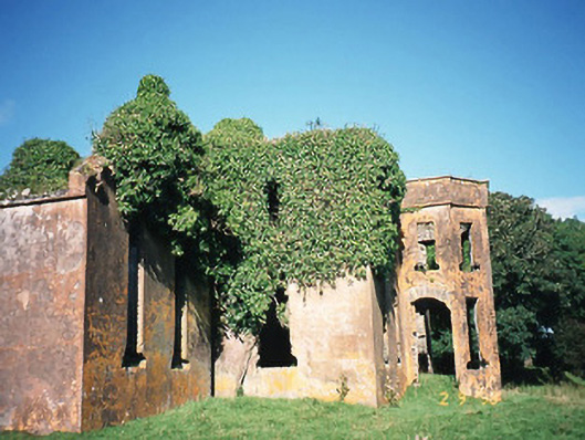 Castlequincountry house · 992 yd
 Hut site in CloghanelinaghanHut site · 1055 yd
 Killobarnaun Oratory (in ruins)Church · 1137 yd
 Burnt spread in CastlequinBurnt spread · 1169 yd
 Foughil IslandIslet · 1.5 mi
 Ballycarbery CastleRuins · 1.6 mi
 OutlinedBawn · 1.6 mi
 Ballycarbery Castle (in ruins)Castle, hall-house · 1.6 mi
 SlievaghMountain / peak · 1.8 mi
 BenteeMountain / peak · 2.0 mi
 White Strand BeachBeach / strand · 2.5 mi
 Laharn Bog LoopWalking route · 2.5 mi