What is recorded here
No one knows which hands first lifted the stone or why they chose that exact spot on the upland. It stood tall enough for Roe to see and write down around 1940, yet evaded the surveyors who drew the area decades before. The earth has since taken back its shape, leaving behind a ghost mark in the grass and a question about who watched the horizon from Cleanagh.
Reference to a standing stone here (Roe, c. 1940). Not marked on the 1841 edition of the OS 6-inch map. In an upland area. No visible surface remains.
The above description is derived from the published 'Archaeological Inventory of County Laois' (Dublin Stationery Office, 1995) compiled by P. David Sweetman, Olive Alcock and Bernie Moran. In certain instances the entries have been revised and updated in the light of recent research.
Date of upload: 17 December 2007
The monument record does not grant public access. Check the route and ask the landowner before entering private land.
- What survives
- Recorded monument
Places near here
 Enclosure in KnockbaunEnclosure · 626 yd
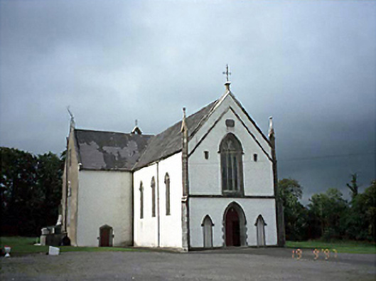 Saint Laserian's Catholic Churchchurch/chapel · 1.2 mi
 Enclosure in AghadreenEnclosure · 1.5 mi
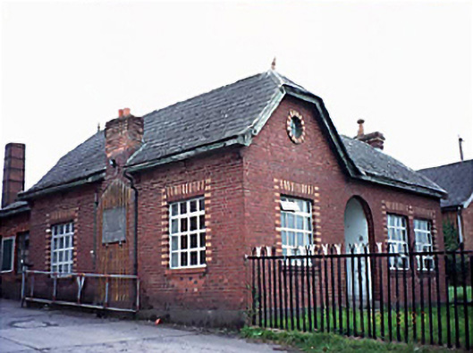 Fleming's Fireclaysworker's house · 2.3 mi
 BlackthornBlackthorn · 3.0 mi
 Moat Castle in ruinsCastle, unclassified · 3.3 mi
 AskuarWood · 3.6 mi
 Timahoe AbbeyCastle, tower house · 3.7 mi
 Timahoe Church and Round TowerVisitor information · 3.7 mi
 Heywood GardensHeritage attraction · 4.3 mi
 1798 MonumentMemorial · 4.8 mi
 Kilgorey Old BurialVisitor information · 6.5 mi