What is recorded here
On a slight natural rise on a NE-facing slope, within the SE quadrant of a triangular-shaped graveyard (TS088-033001-), in rough hummocky pasture. The view to the E is extensive, good to the N and S and impeded upslope to the W. An old red sandstone standing stone (0.5m x 0.3m; H 0.8m) trapezoidal in plan and orientated E-W. It narrows towards the top, which has a flat surface (0.52m x 0.18m). According to Power (1908, 45-78) this is the location of an early church site (TS088-033----).
Compiled by: Jean Farrelly
Date of upload: 02 December 2013
This monument is subject to a preservation order made under the National Monuments Acts 1930 to 2014 (PO no. 4/1997).
Likely dating to the Late Neolithic or Early Bronze Age, the stone's positioning suggests a possible ritual or funerary function, potentially linked to the nearby graveyard. Its alignment and visibility may have held symbolic or ceremonial significance, though specific folklore or use remains unrecorded.
The monument record does not grant public access. Check the route and ask the landowner before entering private land.
- What survives
- Recorded monument
Places near here
 Church in Clashganny EastChurch · 16 yd
 Enclosure in Clashganny WestEnclosure · 927 yd
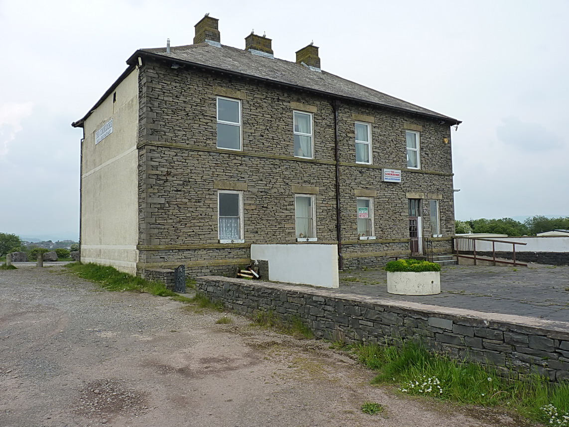 Enclosure in MoloughabbeyEnclosure · 930 yd
 Newcastle Bridgebridge · 1166 yd
 IndicatedBawn · 1538 yd
 European long distance path E8 - part IrelandWalking route · 1.8 mi
 Castle Coonagh (in ruins)Castle, tower house · 1.8 mi
 KnockmealMountain / peak · 3.8 mi
 Hybrid Black PoplarHybrid Black Poplar · 4.0 mi
 KnocknanaskMountain / peak · 4.0 mi
 Laeka WoodWood · 4.1 mi
 Carey's Castle WoodsVisitor information · 4.6 mi