What is recorded here
Situated in coniferous forestry plantation with Lough Owel 160m to S. Townland boundary with Kilpatrick 100m to W. Described in 1976 as 'A tall rectangular-shaped limestone orthostat (H 2.8m; Wth 0.23m; T 0.27m) with some evidence of tool marks. It leans slightly to N. The N face has a shallow relief ridging along one side possibly due to the manner of quarrying the stone' (ASI Field Report 29/10/1976).
Compiled by: Frank Coyne and Caimin O'Brien
Date of upload: 24 August 2017
Dated to the Late Neolithic or Early Bronze Age, this standing stone may have had ceremonial or territorial significance, possibly aligned with nearby landscape features. No specific folklore or inscriptions are recorded.
The monument record does not grant public access. Check the route and ask the landowner before entering private land.
- What survives
- Recorded monument
Places near here
 Kilpatrick WellHoly well · 339 yd
 Clonhugh Housecountry house · 376 yd
 Partially hachuredFairy fort / earthen ringfort · 912 yd
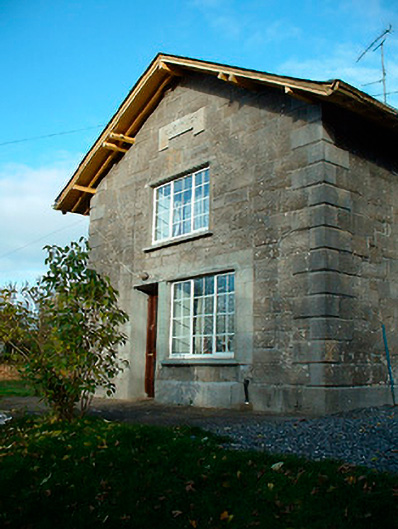 Clonhugh Railway Stationrailway station · 1096 yd
 CastleCastle, motte · 1.2 mi
 Castle Quarter, Castle (in ruins)Castle, unclassified · 1.8 mi
 Carrickphilbin IslandIslet · 2.1 mi
 Bridge Memorial (Kenna)Memorial · 2.2 mi
 Scragh Bog Nature ReserveNature reserve · 2.3 mi
 Church IslandIsland · 2.5 mi
 Lady's IslandWood · 3.0 mi
 WestmeathVisitor information · 4.9 mi