What is recorded here
Situated on a gentle NW facing slope, on the NW edge and just below its summit of a low rounded ridge. There are good views to the W, while to the N the views are dominated by the wooded hill of Ennisboyne. A conglomerate pillar (H 2m; Wth 0.6m; T at base 0.47m; T at top 0.25m) with the long axis oriented NE/SW. The edges are squared off, whereas the top is slightly arced so that the highest point of the stone is at the NE end.
Compiled by: Chris Corlett and Claire Breen
Date of upload: 21 June 2013
Likely dating to the Neolithic or Bronze Age, this standing stone may have functioned as a territorial marker, ceremonial focus, or astronomical alignment point. Local folklore sometimes associates such stones with ancient heroes or supernatural beings, though specific traditions for this site are not recorded.
The monument record does not grant public access. Check the route and ask the landowner before entering private land.
- What survives
- Recorded monument
Places near here
 Castletimon Church (in ruin)Church · 400 yd
 Enclosure in CastletimonEnclosure · 539 yd
 Enclosure in Ballynagran (arklow By., Dunganstown East Ed)Enclosure · 1445 yd
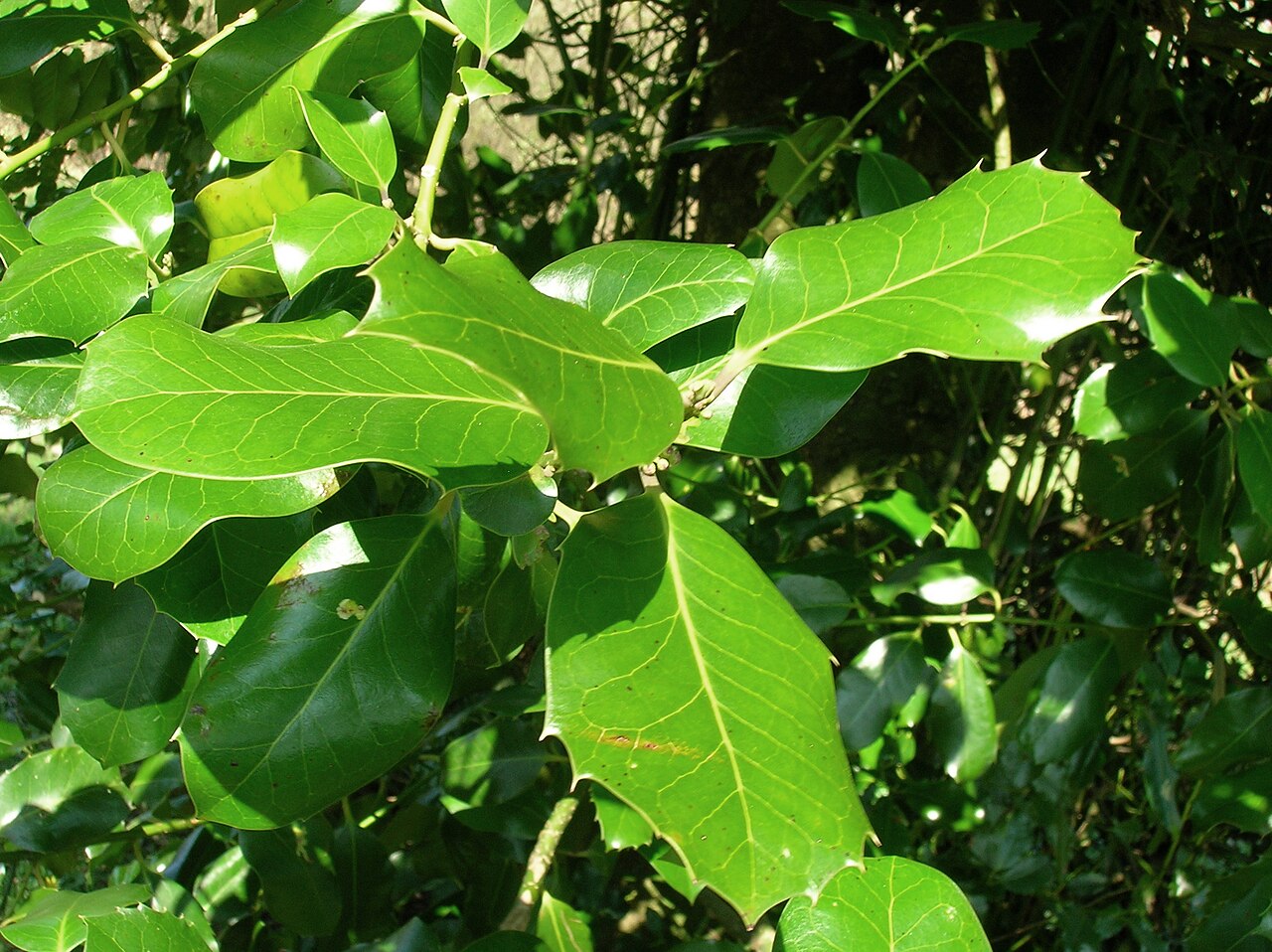 Highclere hollyHighclere holly · 1724 yd
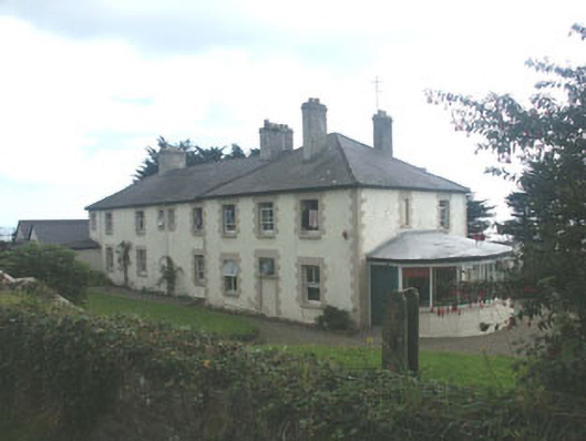 Saint Michael's Housecoastguard station · 1.0 mi
 European YewEuropean Yew · 1.4 mi
 Brittas BayBeach / strand · 1.6 mi
 Furzeditch BeachBeach / strand · 1.8 mi
 Glen Beach Cliff WalkWalking route · 5.1 mi
 Viewing TowerHeritage attraction · 6.6 mi
 Carrick MountainMountain / peak · 6.8 mi
 Meeting of the WatersHeritage attraction · 7.0 mi