What is recorded here
Barnanenagh Fort still stands beside a triangular limestone pillar marked with white quartzite streaks. The stone rises eight feet above ordinary farmland, thin enough at its base to suggest human hands shaped it rather than raw glacier force. It may have marked a boundary, a burial or a warning, yet no written account preserves that purpose. The pillar still points north-east like a forgotten finger, waiting for someone to remember what it accused or protected.
Standing stone described in 1942-3 as following; 'This is a fine limestone pillar, triangular in shape. The faces show white streaks of quartzite. It is 8' [2.4m] high and at the base measures 2' 10" [0.86m] wide by 6" [0.15m] thick. It stands to the north-east of Barnanenagh Fort [I032-151----] and in the same field' (O'Kelly 1942-3, 237).
Compiled by: Caimin O'Brien
Date of upload: 4 March 2020
The monument record does not grant public access. Check the route and ask the landowner before entering private land.
- What survives
- Recorded monument
Places near here
 BarrowBarrow, ditch barrow · 565 yd
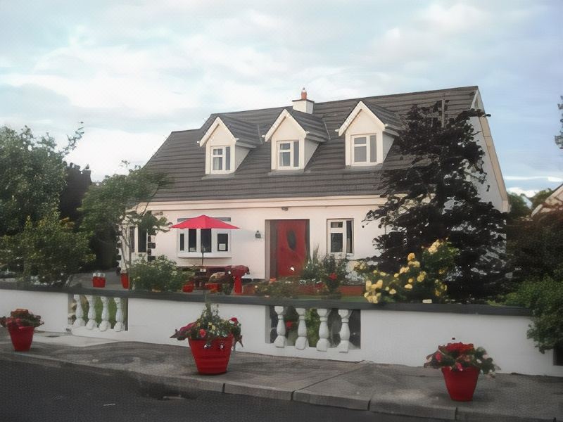 Enclosure in LodgeEnclosure · 913 yd
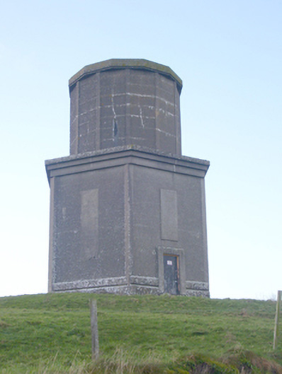 water towerwater tower · 1384 yd
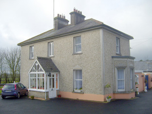 The Villahouse · 1468 yd
 Ballynamona Castle (Site of)Castle, unclassified · 1.3 mi
 CashlanCastle, unclassified · 1.6 mi
 Flat cemetery in Knockainy WestFlat cemetery · 1.9 mi
 Kilteely HillMountain / peak · 2.1 mi
 St. Patrick's WellSpring · 2.6 mi
 St Patrick's WellSpring · 4.4 mi
 KnockseefinMountain / peak · 5.4 mi
 Ballinvreena LoopVisitor information · 7.0 mi