What is recorded here
Carrowmore is a field where a standing stone once rose, now erased beneath cultivation and memory. The land still slopes gently toward the Culdaff river, carrying rain and forgotten shapes into water. What the stone marked is no longer certain, but its absence has become the shape of the place: a hole in the landscape where something vertical refused to leave unseen.
The 1st and 2nd editions of the OS note a 'Standing Stone' here. The 3rd edition marks it as 'Standing Stone (site of)'. There are no visible remains. Situated on land, presently under 'cultivation, sloping gently down NE to the Culdaff river.
The above description was derived from the 'Archaeological Survey of County Donegal. A description of the field antiquities of the County from the Mesolithic Period to the 17th century.' Compiled by: Brian Lacey with Eamon Cody, Claire Cotter, Judy Cuppage, Noel Dunne, Vincent Hurley, Celie O'Rahilly, Paul Walsh and Seán Ó Nualláin (Lifford: Donegal County Council, 1983). In certain instances the entries have been revised and updated.
Date of upload: 22 September 2008
This remains an important historical record, but the official description says the monument is no longer visible or has been destroyed. The monument record does not grant public access. Check the route and ask the landowner before entering private land.
- What survives
- No visible remains or recorded as destroyed
Places near here
 Gleneely Bridgebridge · 268 yd
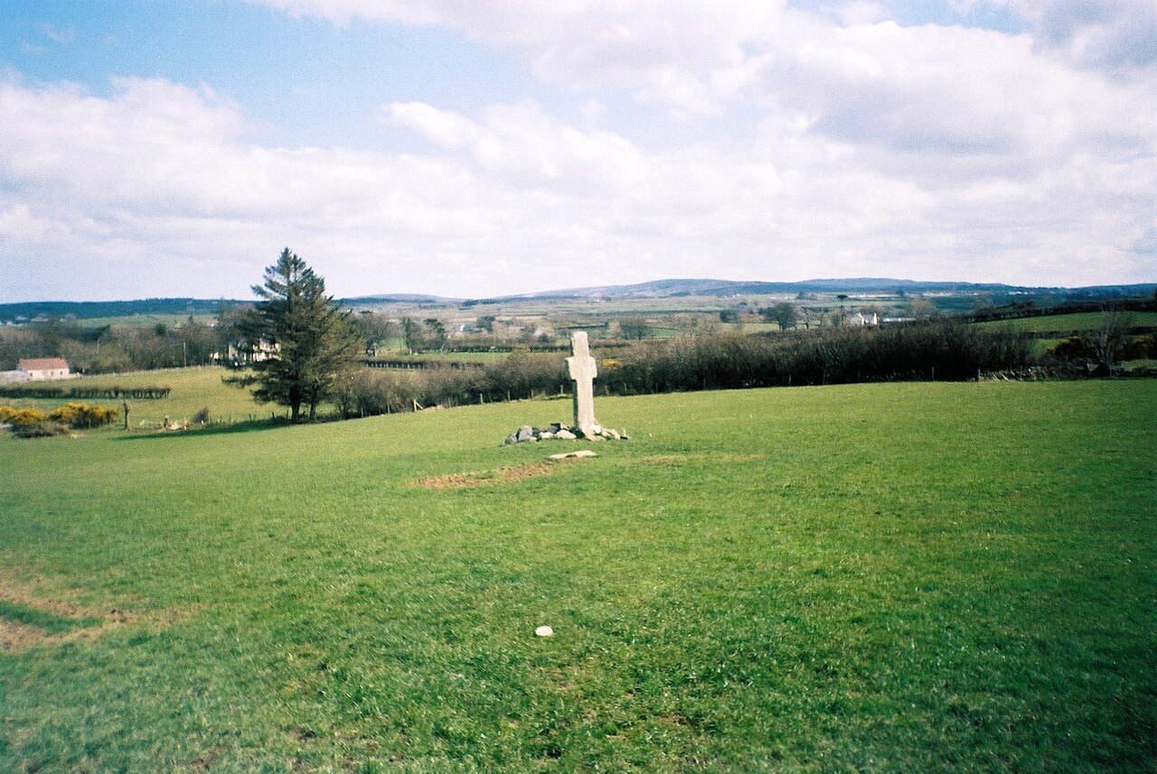
 Carrowmore Ecclesiastical EnclosureEcclesiastical enclosure · 306 yd
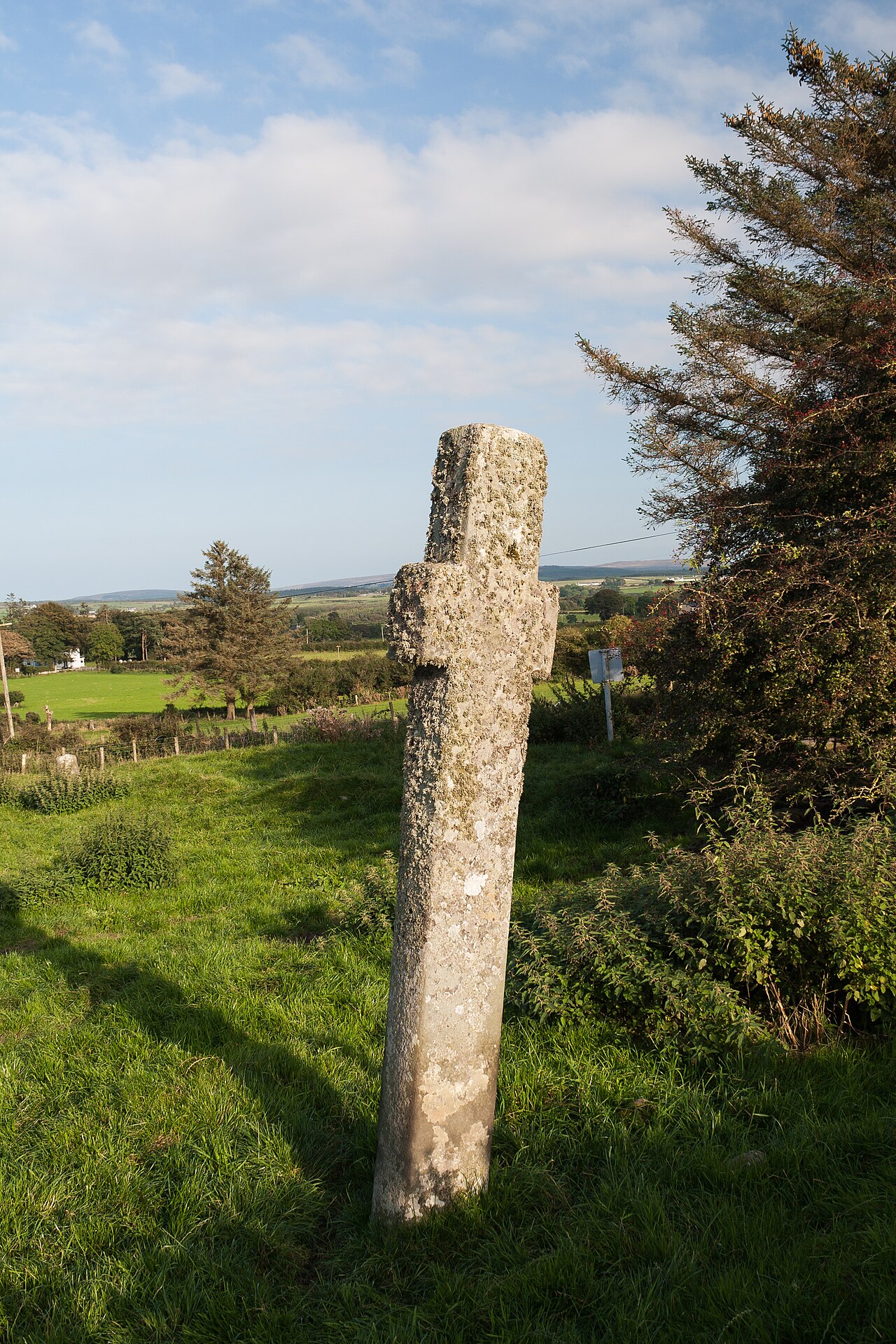
 Stone CrossesCross, High cross · 321 yd
 Clonca Old ChurchChurch · 1497 yd
 CuldaffOfficial bathing water · 2.9 mi
 CastleCastle, unclassified · 3.3 mi
 Carndonagh Early Church GraveyardGraveyard · 3.4 mi
 Tremone BayBeach / strand · 4.8 mi
 CrockavishaneMountain / peak · 5.0 mi
 Castle CaryCastle, unclassified · 6.8 mi
 The Spanish Armada 1588Memorial · 6.8 mi
 Wee Slieve SnaghtMountain / peak · 6.9 mi