What is recorded here
In Carrowmore, County Donegal, a 2.12m stone still projects from the ground at an angle, its top end rising 1.18m into the air. It may be the very standing stone marked on old maps, yet even its identity has blurred into mystery. The angle suggests force, placement or collapse, and the surrounding land may have kept its shape longer than human memory did.
'Marked as 'Standing Stone' on the 2nd edition of the OS 6-inch map but as 'Standing Stone (site of)' on the 3rd edition. However, in the immediate vicinity is a stone 2.12m long, projecting out of the ground at an angle so that one end is 1.18m above ground level. This may be the stone in question.
The above description was derived from the 'Archaeological Survey of County Donegal. A description of the field antiquities of the County from the Mesolithic Period to the 17th century.' Compiled by: Brian Lacey with Eamon Cody, Claire Cotter, Judy Cuppage, Noel Dunne, Vincent Hurley, Celie O'Rahilly, Paul Walsh and Seán Ó Nualláin (Lifford: Donegal County Council, 1983). In certain instances the entries have been revised and updated.
Date of upload: 22 September 2008
The monument record does not grant public access. Check the route and ask the landowner before entering private land.
- What survives
- Recorded monument
Places near here
 Gleneely Bridgebridge · 359 yd
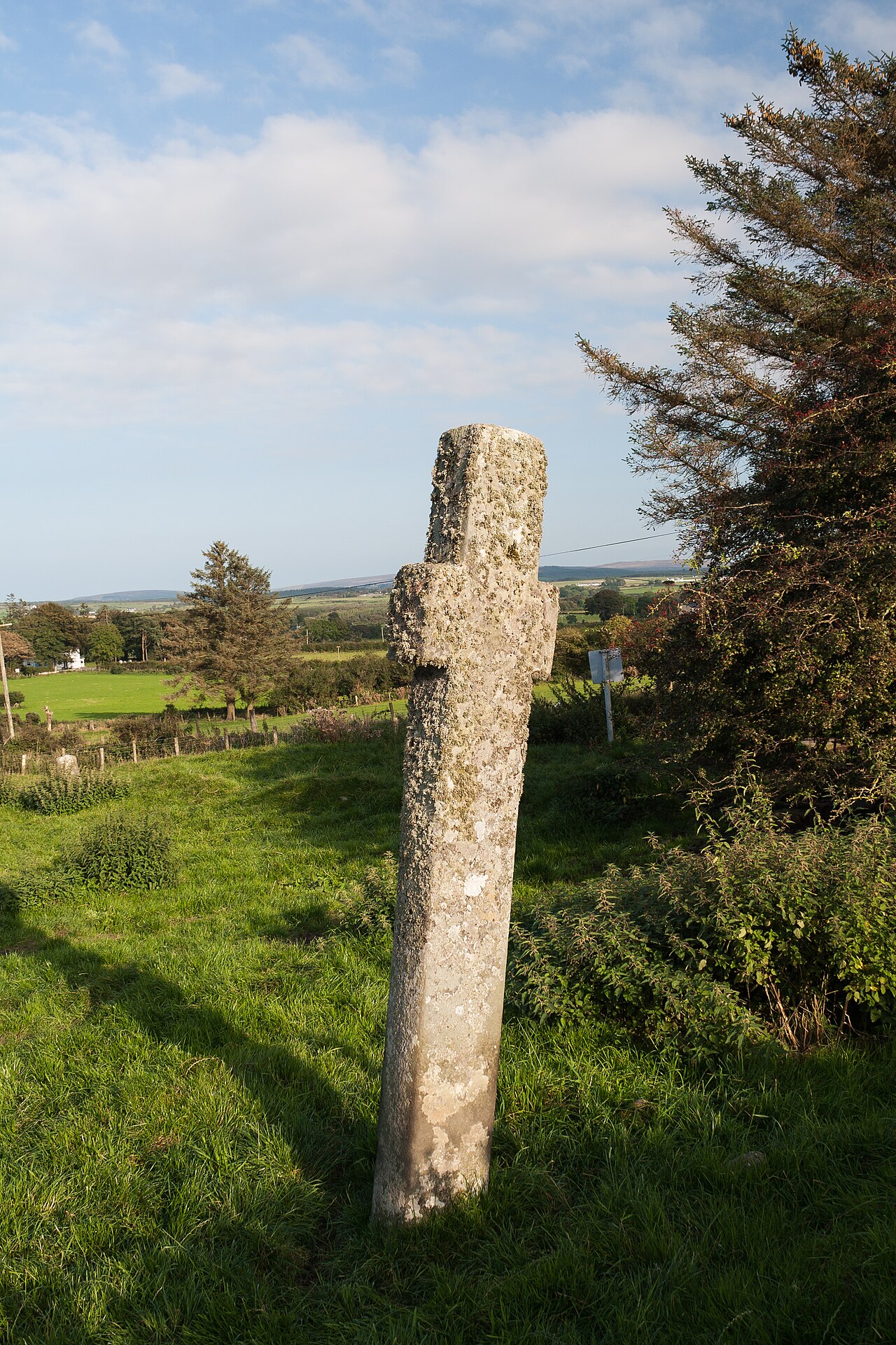 Carrowmore Ecclesiastical EnclosureEcclesiastical enclosure · 391 yd
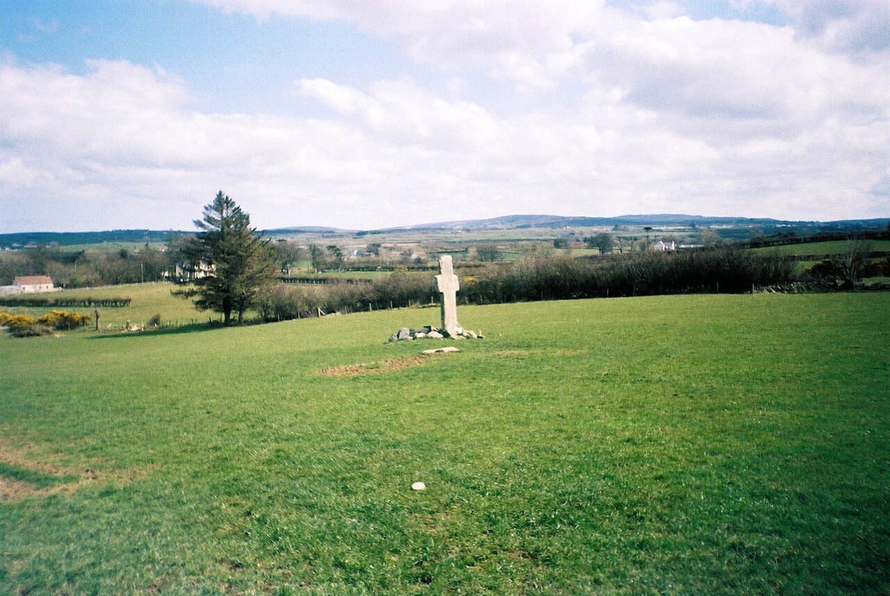 Stone CrossesCross, High cross · 427 yd
 Clonca Old ChurchChurch · 1517 yd
 CuldaffOfficial bathing water · 2.9 mi
 CastleCastle, unclassified · 3.3 mi
 Carndonagh Early Church GraveyardGraveyard · 3.3 mi
 Tremone BayBeach / strand · 4.9 mi
 CrockavishaneMountain / peak · 5.1 mi
 Wee Slieve SnaghtMountain / peak · 6.9 mi
 The Spanish Armada 1588Memorial · 6.9 mi
 Castle CaryCastle, unclassified · 6.9 mi