What is recorded here
No god, chamber or ceremony is recorded. The stone is a rough lm upright on an open ridge, tall enough to mark a direction and sturdy enough to have survived every cart that ever passed. If people ever gathered there, they went home and stopped repeating it. What remains is the shape of that forgetting: a tall stone, still standing where measurement first kept it visible.
On the summit of a NE-SW ridge in rich pasture. Named ‘Standing Stone’ on the 1920 OS 6 –inch map. A partially overgrown upright of coarse limestone (H 2.3m) with a subrectangular cross-section (1.4m x 0.4-0.45m) aligned N-S and tilting slightly to the SW at the top.
Compiled by: Michael Moore and Mary Tunney
Date of upload: 17 November 2025
Likely dating to the Bronze Age, the standing stone may have functioned as a territorial marker or ritual monument. Its alignment and position on a prominent ridge suggest a possible ceremonial or astronomical significance, though specific folklore or use remains unrecorded.
The monument record does not grant public access. Check the route and ask the landowner before entering private land.
- What survives
- Recorded monument
Places near here
 Enclosure in Drumquin (islands By.)Enclosure · 608 yd
 IndicatedFairy fort / stone ringfort · 830 yd
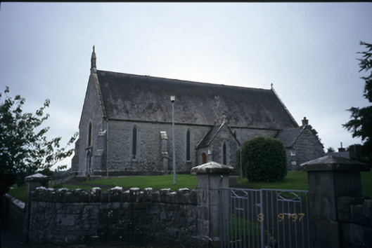 Catholic Church of the Immaculate Conceptionchurch/chapel · 1260 yd
 Kilraghtis ChurchChurch · 1306 yd
 CastleCastle, ringwork · 1.6 mi
 Ardcarney WoodWood · 2.1 mi
 Kilcatherine GraveyardWood · 2.2 mi
 Dromore CastleCastle · 2.4 mi
 Mulkere MemorialMemorial · 3.5 mi
 Ennis AbbeyMuseum · 3.8 mi
 Clare MuseumMuseum · 3.9 mi
 Battle of TullyodeaBattlefield · 4.2 mi