What is recorded here
Carrignamaddry holds a 0.95m standing stone on a west-facing slope, fifty-five metres from a cashel and nineteen metres from another stone. The irregular block aligns northwest to southeast inside working farmland, suggesting people once measured distance, marked boundary or directed ritual across that small triangle. Maybe a farmer dropped a stone and never moved it because the place felt right.
In tillage, on W-facing slope, c. 55m NE of cashel (CO070-022----) and c. 19m SW of standing stone (CO070-021002-). Stone (H 0.95m; 1m x 0.7m) is irregular in plan, long axis NW-SE.
The above description is derived from the published 'Archaeological Inventory of County Cork. Volume 3: Mid Cork' (Dublin: Stationery Office, 1997). In certain instances the entries have been revised and updated in the light of recent research.
Date of upload/revision: 14 January 2009
The monument record does not grant public access. Check the route and ask the landowner before entering private land.
- What survives
- Recorded monument
Places near here
 IndicatedFairy fort / earthen ringfort · 384 yd
 LissacresigFairy fort / earthen ringfort · 688 yd
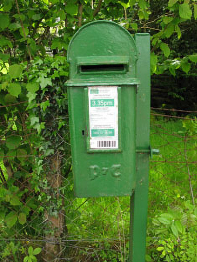 post boxpost box · 1461 yd
 Bealahacreagh Bridgebridge · 1.0 mi
 Carrigaphooca CastleCastle · 1.2 mi
 Curraheen WoodWood · 2.0 mi
 Dundareirke Castle (in Ruins)Castle, tower house · 2.3 mi
 Neill's WoodWood · 3.1 mi
 Macroom WalksVisitor information · 3.8 mi
 Cnoc na nUlán (mullach thoir)Mountain / peak · 4.0 mi
 Battle of Macroombattle · 4.1 mi
 KnockullaneMountain / peak · 4.6 mi