What is recorded here
Carrigabrick: Two standing stones at the townland boundary, recorded by Windele in 1898. The western stone is a rude unformed mass, six feet high and four to five feet through. Exact location is no longer known.
Windele (1898, 53) records that 'At the bounds of the townland of Carrig-ee-vrick...and Fawn, in two adjoining fields are two dallans. The first or western dallan, is a rude unformed mass, about six feet high, and varying from four to five feet in breadth and in thickness'. Exact location not known. (see also 9927)
The above description is derived from the published 'Archaeological Inventory of County Cork. Volume 4: North Cork' (Dublin: Stationery Office, 2000). In certain instances the entries have been revised and updated in the light of recent research.
Date of upload/revision: 14 January 2009
The monument record does not grant public access. Check the route and ask the landowner before entering private land.
- What survives
- Recorded monument
Places near here
 Carrigabrick Castle (in Ruins)Castle, tower house · 542 yd
 IndicatedKiln, lime · 571 yd
 Old Railway ViaductViewpoint · 615 yd
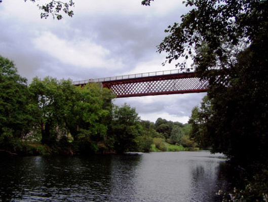 Carrigabrick Bridgeviaduct · 651 yd
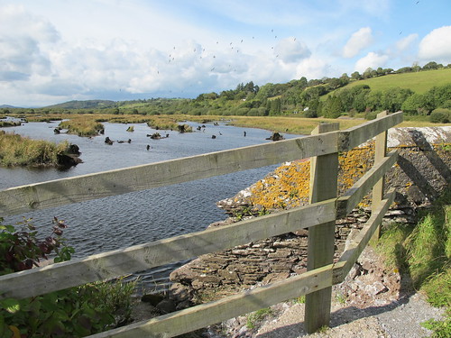 Enclosure in Gearagh (condons and Clongibbon By.)Enclosure · 922 yd
 TumulusBarrow, mound barrow · 1020 yd
 Licklash Castle (in Ruins)Castle, hall-house · 1074 yd
 Kent BridgeMemorial · 1.2 mi
 Tourist InformationVisitor information · 1.2 mi
 Graveyard in FermoyGraveyard · 1.3 mi
 Strawhall WoodForest · 1.4 mi
 Ballybrack WoodForest · 1.6 mi