What is recorded here
Carrigabrick and Fawn still share a boundary marked by two silent limestone dallans, one standing six feet tall and three and a half feet broad. They sit four or five hundred feet apart in adjoining fields, preserving a line drawn long before modern roads or ownership disputes. Their smooth, unmarked surfaces suggest they guided neighbours rather than recorded kings, turning ordinary farmland into a place where human agreement became visible stone.
Windele (1898, 53) records that 'At the bounds of the townland of Carrig-ee-vrick...and Fawn, in two adjoining fields are two dallans...The second stone, some four or five hundred feet to the east, is a limestone of better shape [than 9928], about six feet in height and three and a half broad. No inscriptions on either'. Exact location not known.
The above description is derived from the published 'Archaeological Inventory of County Cork. Volume 4: North Cork' (Dublin: Stationery Office, 2000). In certain instances the entries have been revised and updated in the light of recent research.
Date of upload/revision: 14 January 2009
The monument record does not grant public access. Check the route and ask the landowner before entering private land.
- What survives
- Recorded monument
Places near here
 Carrigabrick Castle (in Ruins)Castle, tower house · 542 yd
 IndicatedKiln, lime · 571 yd
 Old Railway ViaductViewpoint · 615 yd
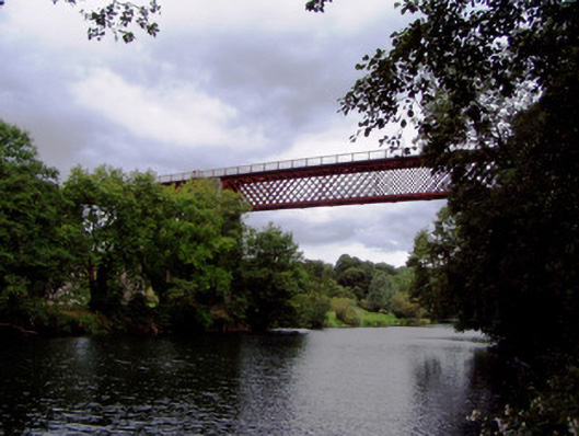 Carrigabrick Bridgeviaduct · 651 yd
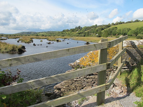 Enclosure in Gearagh (condons and Clongibbon By.)Enclosure · 922 yd
 TumulusBarrow, mound barrow · 1020 yd
 Licklash Castle (in Ruins)Castle, hall-house · 1074 yd
 Kent BridgeMemorial · 1.2 mi
 Tourist InformationVisitor information · 1.2 mi
 Graveyard in FermoyGraveyard · 1.3 mi
 Strawhall WoodForest · 1.4 mi
 Ballybrack WoodForest · 1.6 mi