What is recorded here
Situated towards the bottom of Carrickbeg Hill, at the edge of the floodplain of the W-E River Suir. This is a conglomerate stone with a rectangular cross-section (dims. 1.1m x 0.3m; H 1.55m) oriented NNE-SSW. It has a rounded crest and is damaged at both the N and S ends. Standing stone (WA003-072----) is c. 200m to the SE.
The above description is derived from the published 'Archaeological Inventory of County Waterford' (Dublin: Stationery Office, 1999). In certain instances the entries have been revised and updated in the light of recent research.
Date of upload/revision: 23 December 2008
Likely dating to the Neolithic or Early Bronze Age, this standing stone may have functioned as a boundary marker, ritual monument, or solar alignment feature, given its orientation and location near a river. No specific folklore or detailed use is recorded for the site.
The monument record does not grant public access. Check the route and ask the landowner before entering private land.
- What survives
- Recorded monument
Places near here
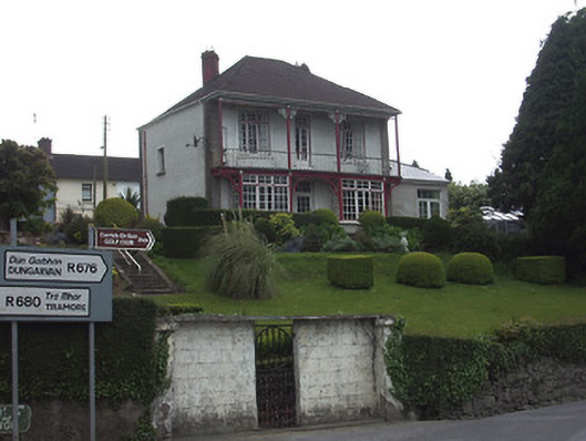 Riverview Househouse · 518 yd
 Dillon Bridgebridge · 616 yd
 CastleCastle, Anglo-Norman masonry castle · 752 yd
 Ormonde CastleHeritage attraction · 755 yd
 Town WallTown defences · 926 yd
 Maurice DavinMonument · 1282 yd
 CarrigfenoaghMountain / peak · 1.0 mi
 Coolnamuck Castke (in Ruins)Castle, tower house · 2.3 mi
 Tower HillMountain / peak · 2.8 mi
 Coolnamuck Wood WestForest · 2.9 mi
 Tower Hill WoodWood · 3.2 mi
 Thomas KielyMemorial · 3.5 mi