What is recorded here
Cappaghabaun Mountain holds one standing stone, a vertical mark in County Clare that may have guided herds, marked a boundary or watched a valley before roads existed. The rock still stands while human memory thins around it.
The Archaeological Survey of Ireland (ASI) is in the process of providing information on all monuments on The Historic Environment Viewer (HEV). Currently the information for this record has not been uploaded. To access available information for research purposes please make an appointment in advance with the Archive Unit (open Fridays 10.00 am – 5.00 pm), Department of Housing, Local Government and Heritage, The Custom House, Dublin 1 D01W6XO or email NMarchive@housing.gov.ie.
The monument record does not grant public access. Check the route and ask the landowner before entering private land.
- What survives
- Recorded monument
Places near here
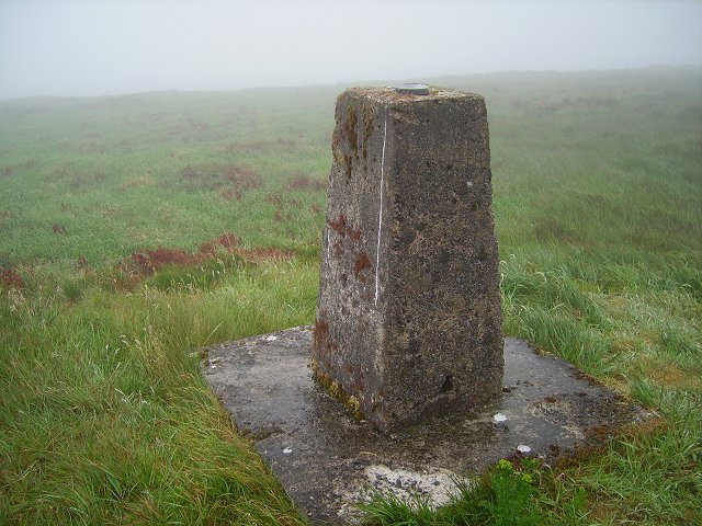 Cappaghabaun Mountain EastMountain / peak · 1450 yd
 Enclosure in Kilrateera UpperEnclosure · 1.6 mi
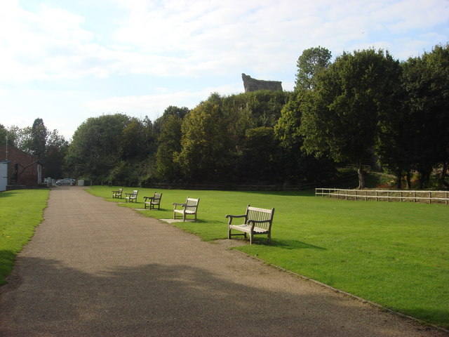 CloghanaffrinMass-rock · 2.2 mi
 Maguire SistersMemorial · 3.5 mi
 TullymoreMountain / peak · 3.7 mi
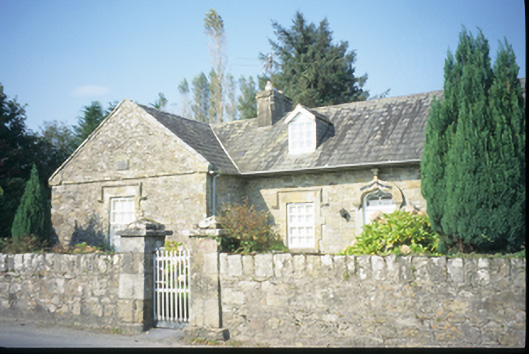 The Old School Houseschool · 3.7 mi
 Loughatorick National Schoolschool · 3.7 mi
 The MazeHeritage attraction · 4.1 mi
 Pedunculate OakPedunculate Oak · 4.2 mi
 Inishcaltra or Holy IslandIslet · 4.5 mi
 Scarriff BayBay · 4.7 mi
 Cloonoolia BayBay · 4.8 mi