What is recorded here
Cappagh More keeps a vanished stone in rough pasture, hiding it beneath ordinary field boundaries while facing Mount Gabriel. The stone may still exist inside a mound of clearance rocks, waiting for someone to stop treating the landscape as finished. What is missing is not loss but invitation, calling the watcher to see the valley as a living archive instead of a dead map.
In rough pasture, on a W-facing slope with a view W over the valley as far as Mount Gabriel. According to local information, this possible standing stone (H c. 1m) stands in a flat meadow. Surface drains along the field boundaries and limited surface clearance has taken place in the general area. There is no visible trace of this possible standing stone. However, this stone may be among some mounds of fairly recent field clearance stones that were noted against some of the field boundaries.
The above description is derived from 'The Archaeological Inventory of County Cork. Volume 5' (Dublin: Stationery Office, 2009).
Date of upload: 22 December 2009
This remains an important historical record, but the official description says the monument is no longer visible or has been destroyed. The monument record does not grant public access. Check the route and ask the landowner before entering private land.
- What survives
- No visible remains or recorded as destroyed
Places near here
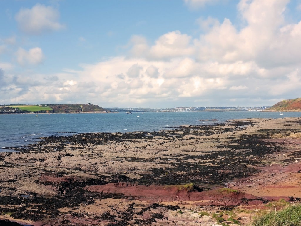 IndicatedEnclosure · 244 yd
 Mount KidMountain / peak · 992 yd
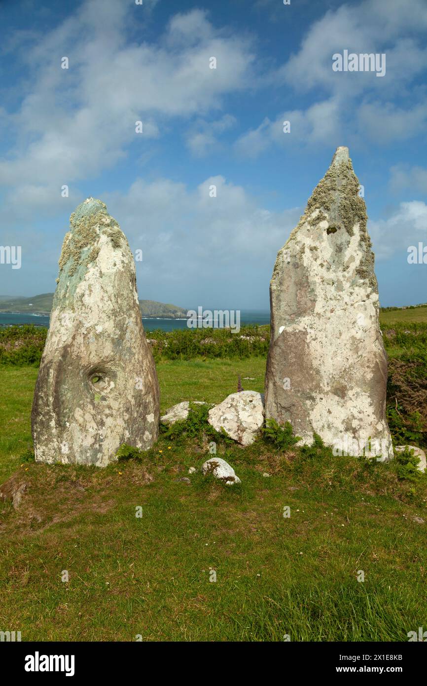 Childrens Burial GdBurial ground · 1223 yd
 KnockaphukeenMountain / peak · 2.0 mi
 Ballyourane Castle (in Ruins)Castle, unclassified · 2.9 mi
 Meen Bridgebridge · 2.9 mi
 Church of the Most Holy Rosarychurch/chapel · 2.9 mi
 Barnageehy Loop WalkWalking route · 3.4 mi
 Ballydehob Railway StationVisitor information · 3.9 mi
 Scart Castle (Site of)Castle, unclassified · 3.9 mi
 Ballydehob's 3-Arch Road BridgeVisitor information · 3.9 mi
 Danno O’Mahony statueMemorial · 4.0 mi