What is recorded here
Caherkeen holds a triangular standing stone, ninety-eight centimetres tall, aligned northwest to southeast on an east-facing slope. It is not a grand monument, but a small sharp marker in rough grazing, perhaps guiding a boundary, a memory or a dead person across generations. The triangle still points like a knife through the fields, waiting for someone to remember what it marked.
In rough grazing on E-facing slope. Triangular stone aligned NW-SE (H 0.98m; 0.55m x 0.4m). (O'Brien 1970, 18).
The above description is derived from the published 'Archaeological Inventory of County Cork. Volume 1: West Cork' (Dublin: Stationery Office, 1992). In certain instances the entries have been revised and updated in the light of recent research.
Date of upload/revision: 14 January 2009
The monument record does not grant public access. Check the route and ask the landowner before entering private land.
- What survives
- Recorded monument
Places near here
 Enclosure in CaherkeenEnclosure · 431 yd
 Church in CaherkeenChurch · 730 yd
 Mass RockVisitor information · 850 yd
 Caherkeen Mass RockHeritage attraction · 953 yd
 IndicatedField system · 1018 yd
 KnocknagallaunMountain / peak · 1243 yd
 Old MineRuins · 1.1 mi
 DooneenViewpoint · 1.5 mi
 Blue IslandsIslet · 1.7 mi
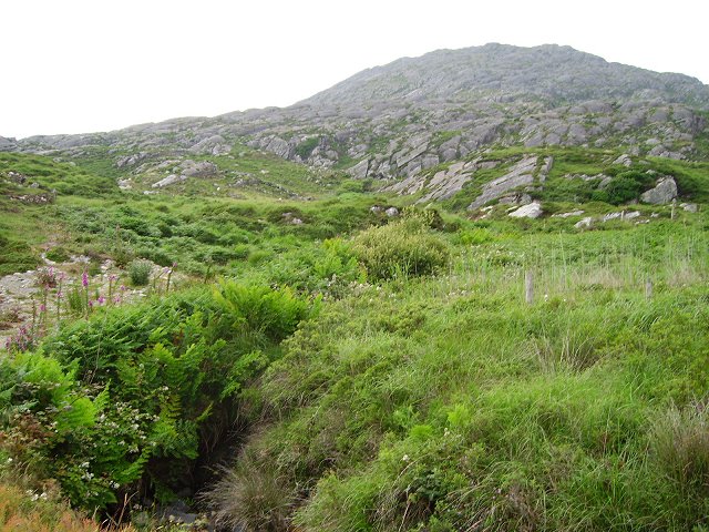 Eagle HillMountain / peak · 1.9 mi
 Allihies Copper Mine MuseumMuseum · 1.9 mi
 Field boundary in CaherkeenField boundary · 1037 yd