What is recorded here
One smooth limestone rib stands slightly east of the farm track in Caherelly East, its angular edges erased by generations of cattle rubbing. The stone reaches 1.3m into the rough pasture, leaning east like a marker forgotten by the people who set it. It may have guided a boundary, honoured a loss, or simply watched the fields change hands. Its surface still holds the warmth of every animal that leaned against it, proving the stone remained useful long after its original purpose faded.
In level rough pasture, to E of farm trackway. Single upright stone (H 1.3m; max. L 0.4m; max. T 0.2m) of limestone, tending slightly to E. Rectangular in plan (long-axis NNE-SSW) and triangular in elevation; flat and smooth due to cattle rubbing.
Compiled by: Denis Power
Date of upload: 26 November 2013
Likely dating to the Neolithic or Bronze Age, this standing stone may have functioned as a territorial marker, ritual focus, or astronomical alignment point. No specific folklore or detailed local tradition is recorded for the site.
The monument record does not grant public access. Check the route and ask the landowner before entering private land.
- What survives
- Recorded monument
Places near here
 Black Castle (Site of)Castle, unclassified · 533 yd
 Mound in Caherelly EastMound · 747 yd
 Caherelly Church (in ruins)Church · 1136 yd
 Caherelly Cottagehouse · 1142 yd
 BarrowBarrow, unclassified · 1376 yd
 Ballybricken Court (in ruins)Castle, tower house · 1.2 mi
 The SpectaclesVisitor information · 2.4 mi
 St. Patrick's WellSpring · 4.2 mi
 Kilteely HillMountain / peak · 4.3 mi
 Flat cemetery in Knockainy WestFlat cemetery · 5.7 mi
 St Patrick's WellSpring · 9.2 mi
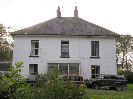 Caherelly Castlecountry house · 1428 yd