What is recorded here
In pasture with rock outcrop, c. 100m S of standing stone (MA118-040----). Long, narrow limestone slab (max. dims. H 2.6m; Wth 0.5m; T 0.2m), orientated E-W. Packing stones protrude at base.
The above description has been derived from D. Lavelle (compiler), An Archaeological Survey of Ballinrobe and District including Lough Mask and Lough Carra. Lough Mask and Lough Carra Tourist Development Association (1994), No. 53.
Date of upload: 20 November 2013
The monument record does not grant public access. Check the route and ask the landowner before entering private land.
- What survives
- Recorded monument
Places near here
 Bunacrower CastleCastle · 300 yd
 IndicatedEnclosure · 729 yd
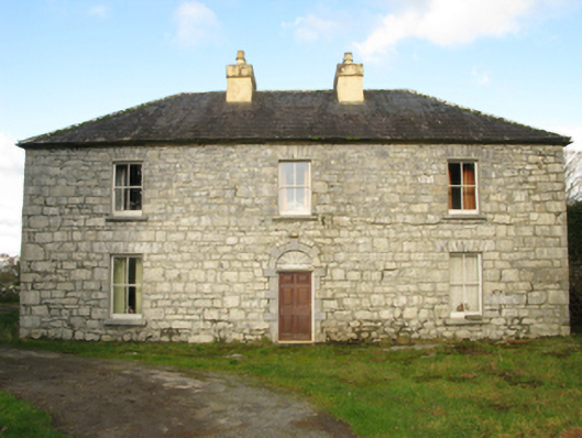 Carranvilla Housefarm house · 1.0 mi
 Castle in ruinsCastle, tower house · 1.1 mi
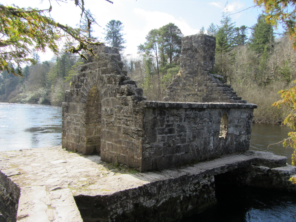 Enclosure in Kilquire LowerEnclosure · 1.2 mi
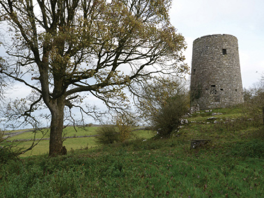 Highwood Millmill (wind) · 1.6 mi
 SycamoreSycamore · 2.1 mi
 European ashEuropean ash · 3.8 mi
 Rat IslandIslet · 5.1 mi
 Dormbeg Island NorthIslet · 5.4 mi
 School of FalconryHeritage attraction · 8.9 mi
 Ard na GaoitheHeritage attraction · 9.8 mi