
What is recorded here
In pasture. Shown on OS map (1838) as circular enclosure. Road truncates position of site. Levelled; no visible surface traces. Possibly a ringfort.
The above description has been derived from D. Lavelle (compiler), An Archaeological Survey of Ballinrobe and District including Lough Mask and Lough Carra. Lough Mask and Lough Carra Tourist Development Association (1994), No. 333.
Date of upload: 20 November 2013
The monument record does not grant public access. Check the route and ask the landowner before entering private land.
- What survives
- Recorded monument
Places near here
 Bunacrower CastleCastle · 865 yd
 Castle in ruinsCastle, tower house · 1324 yd
 Enclosure in BallyjenningsEnclosure · 1542 yd
 Gallows FortEnclosure · 1740 yd
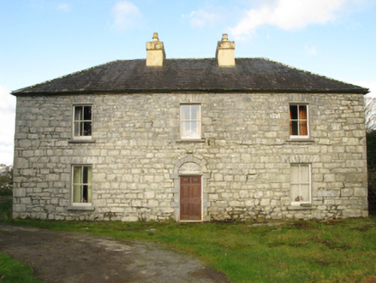 Carranvilla Housefarm house · 1.4 mi
 Church in ruinsChurch · 1.7 mi
 SycamoreSycamore · 2.0 mi
 European ashEuropean ash · 3.4 mi
 LabbadermotCave · 4.8 mi
 Crane IslandIslet · 5.1 mi
 Cow IslandIslet · 5.2 mi
 School of FalconryHeritage attraction · 8.6 mi
Other information
Photo: Credit not shown in the picture search · Rights wording not checked; contact us if this picture should be removed